Every month, construction teams have to turn weeks of field activity into a clear request for payment. The schedule of values may show that sitework is 80 percent complete, roofing is 60 percent complete, or exterior finishes are underway, but percentages alone do not always give owners, lenders, and project partners a complete picture of what is happening on the jobsite.
That is where consistent drone progress photography can add value.
Aerial photos provide a clear view of installed work, site conditions, stored materials, access routes, and overall progress. When those images are captured from consistent locations throughout the project, they create an organized visual record that can support pay application reviews and make monthly project updates easier to understand.
For general contractors, developers, and owners in Upstate South Carolina, professional drone documentation can help reduce questions, improve transparency, and keep the payment process moving.
1. Connect Billing Percentages to Visible Progress
A pay application contains valuable information, but it is mostly numbers on a page. Someone reviewing the application may not visit the jobsite regularly, and ground-level photos may only show isolated areas.
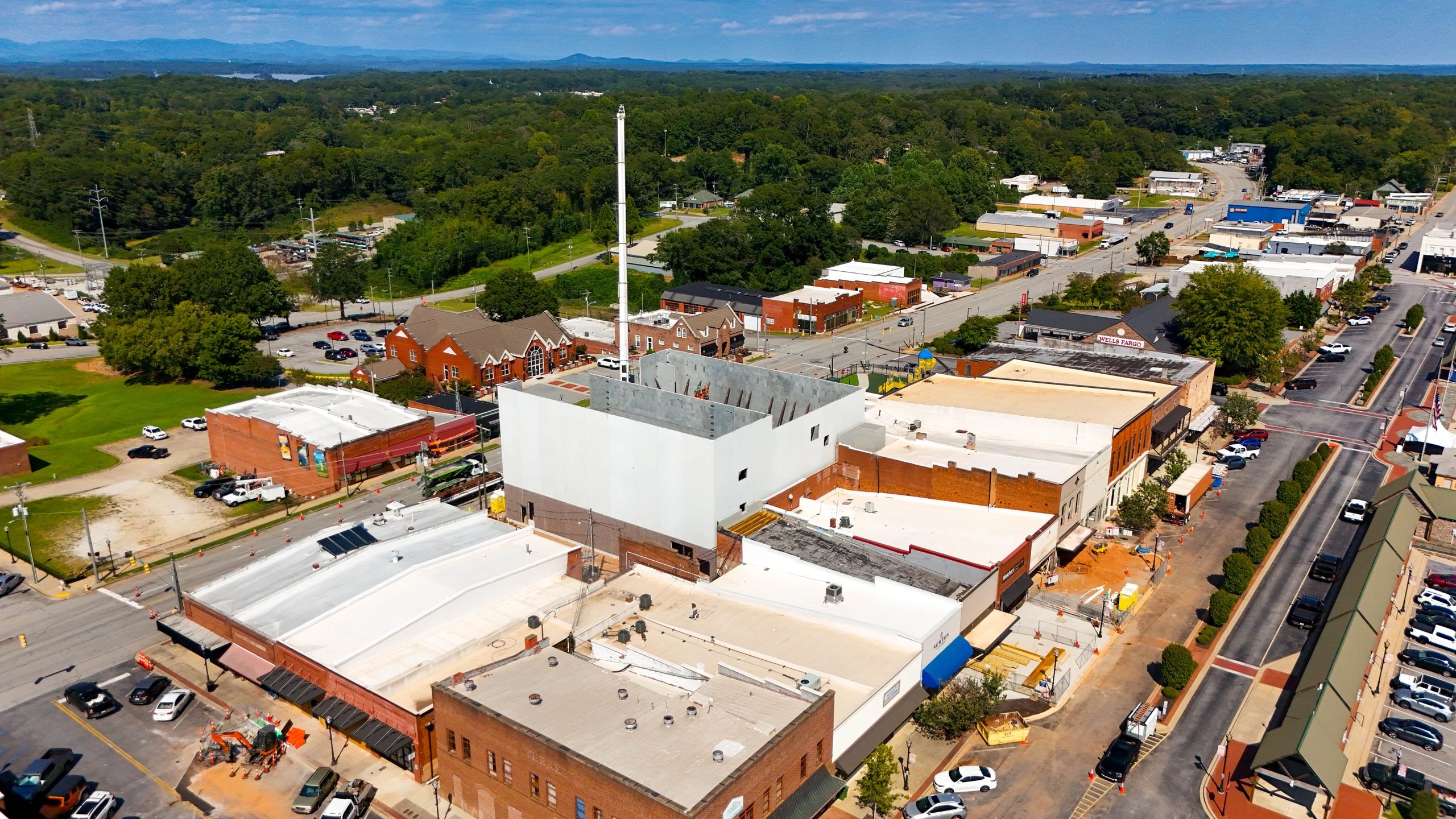
Drone photos help connect the billing information to the full project. A single overhead image can show the progress of grading, paving, utilities, roofing, exterior walls, material staging, and other major scopes at the same time.
This visual context can help reviewers better understand:
- Which areas of the site are complete
- Where active work is taking place
- How much of a large exterior scope has been installed
- Whether major materials are staged on site
- How the project has changed since the previous billing period
Drone photos do not determine the official percentage of completion, but they make the information in the pay application easier to review and discuss.
2. Give Owners and Lenders a Clearer Project Update
Owners and lenders often review several projects while working away from the jobsite. They may rely on meeting notes, schedules, invoices, and a collection of ground photos to understand current progress.
Aerial photography gives them a faster way to see the entire project. Instead of trying to piece together where each photo was taken, they can view the building, site, parking areas, access points, and surrounding work in one organized set of images.
This is especially helpful on:
- Large commercial projects
- School and municipal projects
- Industrial sites
- Multifamily developments
- Projects with extensive sitework
- Projects with ownership groups located outside the area
Clear visual updates can build confidence that the project is organized and that the work being billed is moving forward.
3. Document Materials and Work in Place
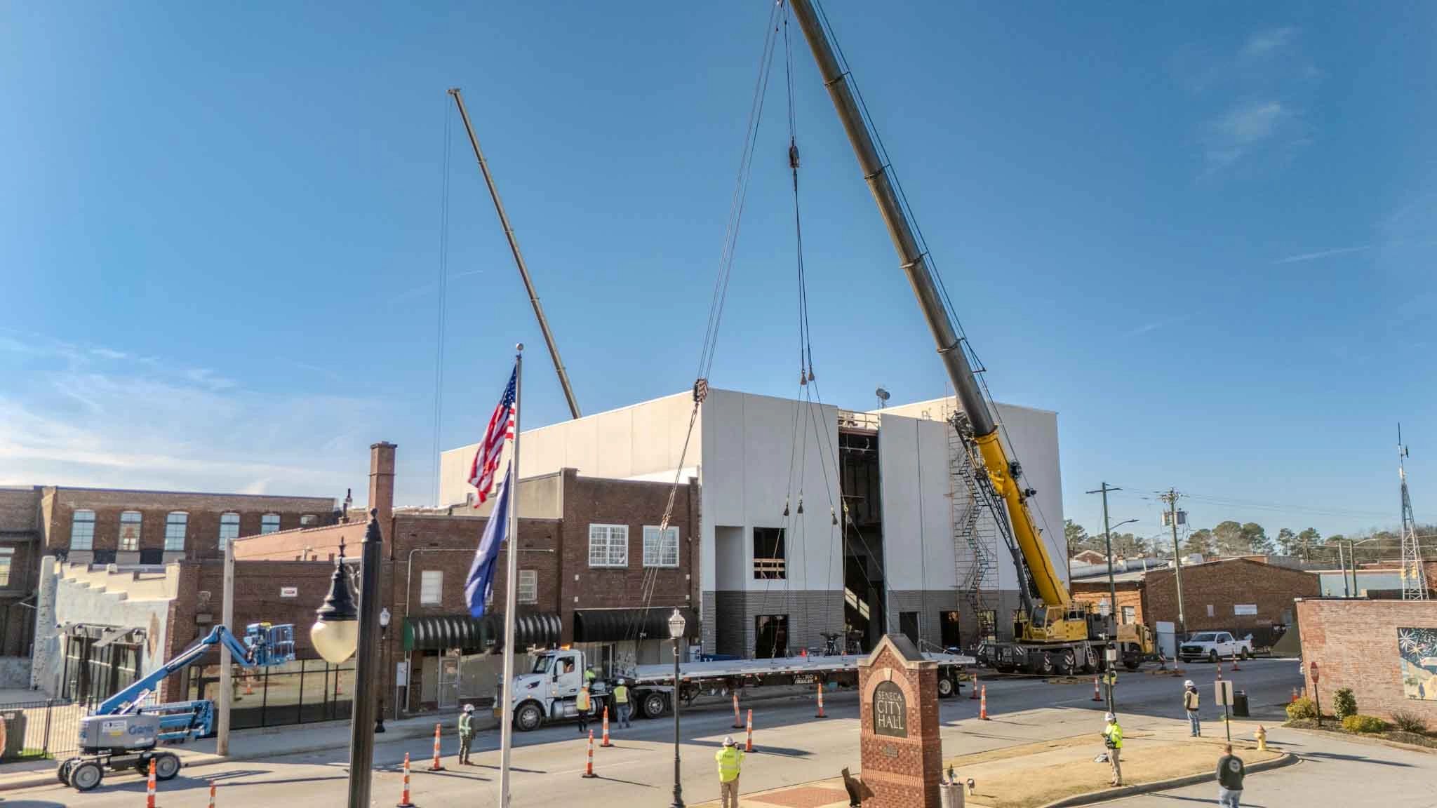
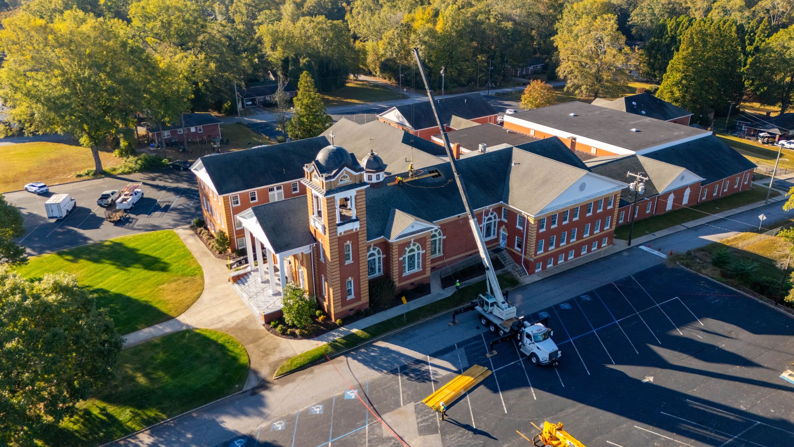
Construction billing often includes questions about what has been installed and what materials are currently stored on site. Drone photography can help document larger exterior materials, equipment, structural components, roofing materials, and other visible items that are difficult to capture in one ground-level photo.
For example, an aerial view may clearly show:
- Roofing materials staged across a building
- Structural steel delivered to the site
- Precast or modular components awaiting installation
- Pipe, stone, or other civil materials stored in designated areas
- Paving materials and equipment mobilized for upcoming work
Drone imagery works best as part of a complete documentation process. Close-up ground photos, delivery tickets, invoices, certificates of insurance, and other required records may still be needed. The aerial view adds context by showing where the materials are located and how they relate to the project.
4. Support Conversations About Change Orders and Extra Work
Change orders and additional work can create confusion when the project team does not have a clear record of previous site conditions. A consistent series of drone photos can help show how an area looked before, during, and after the work occurred.
That record may help the team review questions involving:
- Unforeseen site conditions
- Added grading or drainage work
- Changes to access and staging areas
- Additional demolition
- Utility conflicts
- Weather-related damage
- Work completed outside the original sequence
Aerial photos do not replace contracts, daily reports, written notices, or formal change-order documentation. They provide another useful layer of information that can make conversations more factual and less dependent on memory.

5. Create a Consistent Record Between Billing Periods
The greatest value comes from taking photos consistently. When a drone captures the same angles each month, the project team can compare one billing period to the next and quickly see what changed.
This is much more useful than receiving a different collection of random images every month. Consistent flight locations create a visual timeline that can follow the project from pre-construction through closeout.
A strong monthly drone documentation plan may include:
- Wide views of the entire property
- Consistent images from each corner of the site
- Straight-down overhead photos
- Building exterior and roof progress
- Site access, logistics, and material staging
- Parking, paving, utilities, and drainage work
- Additional detail photos of current milestones
Organizing the images by project, date, and location makes them easier to retrieve during a pay application review, owner meeting, or later project discussion.
6. Reduce Questions and Unnecessary Site Visits
When reviewers can clearly see the work, they may be able to answer basic progress questions without scheduling another trip to the project. This can be especially valuable for developers, owners, lenders, and consultants who are located outside Upstate South Carolina.
Drone photos can also help project managers prepare for owner meetings. Rather than searching through phone photos at the last minute, the team has an organized set of professional images showing the current condition of the project.
The goal is not to eliminate necessary inspections or site visits. It is to give the right people better information before those meetings and visits take place.
When Should Drone Photos Be Taken?
For pay application support, timing matters. Photos should be recent enough to represent the work included in the current billing period.
Many projects benefit from one scheduled flight each month shortly before the pay application is prepared or reviewed. Larger or faster-moving projects may benefit from biweekly flights, especially during major sitework, structural, roofing, or exterior milestones.
Additional flights may also make sense:
- Before construction begins
- Before major areas are covered
- After significant weather events
- When a major change in site conditions occurs
- At substantial completion
- At final completion
Pre-construction photos are particularly valuable because they establish a baseline for roads, neighboring properties, drainage areas, laydown spaces, and the overall site before work begins.
What Should a Construction Drone Photographer Provide?
A useful construction drone service should provide more than a folder of impressive photos. The images need to be consistent, organized, and relevant to the project team.
When selecting a provider, look for:
- An FAA-licensed and insured drone operator
- Experience working around active construction sites
- Consistent flight paths and camera angles
- High-resolution edited images
- Organized folders labeled by date
- Dependable scheduling and turnaround time
- An understanding of jobsite safety and project priorities
A photographer with construction experience is better positioned to recognize the areas that matter to project managers, superintendents, owners, and pay application reviewers.
Drone Photos Are One Part of Strong Project Documentation
Drone photography should support the project team’s existing process, not replace it. Pay applications still require accurate schedules of values, invoices, daily reports, stored-material documentation, approvals, and any other records required by the contract.
Interior work and concealed conditions may also require ground photography or 360-degree documentation. However, for overall site progress and exterior work, aerial images provide a level of context that is difficult to achieve from the ground.
When combined with the rest of the project records, consistent drone photos can make monthly progress easier to verify, communicate, and present professionally.
Professional Construction Drone Photography in Upstate South Carolina
Owens Aerial provides construction progress photography for general contractors, developers, owners, and project teams throughout Greenville, Simpsonville, Fountain Inn, Laurens, Anderson, Spartanburg, Greenwood, and surrounding areas of Upstate South Carolina.
With a background in construction and experience around active jobsites, Owens Aerial focuses on the views that are useful to the people managing the work. Each flight is completed by an FAA-licensed and insured drone operator, with organized delivery and dependable service.
Whether your project needs a single milestone flight or recurring monthly documentation, professional aerial photos can give your team a clearer way to track progress and support project communication.
Contact Owens Aerial today at brayden@owensaerial.com or (864) 871-3260 to request a free quote for construction drone photography in Upstate South Carolina.