Construction teams take photos for many reasons: documenting progress, updating owners, recording concealed work, reviewing site conditions, and creating marketing content. But one type of photography cannot capture everything happening on a jobsite.
Drone photos are excellent for showing the full project and how major areas relate to one another. Ground photos are better for close-up details, interiors, and work that cannot be seen from the air. On some projects, a 360-degree walkthrough adds another useful layer by allowing team members to move through a space remotely.
The best construction documentation plan is not about choosing one option for the entire project. It is about using the right type of image for the information the team needs to capture.
What Drone Photos Capture Best
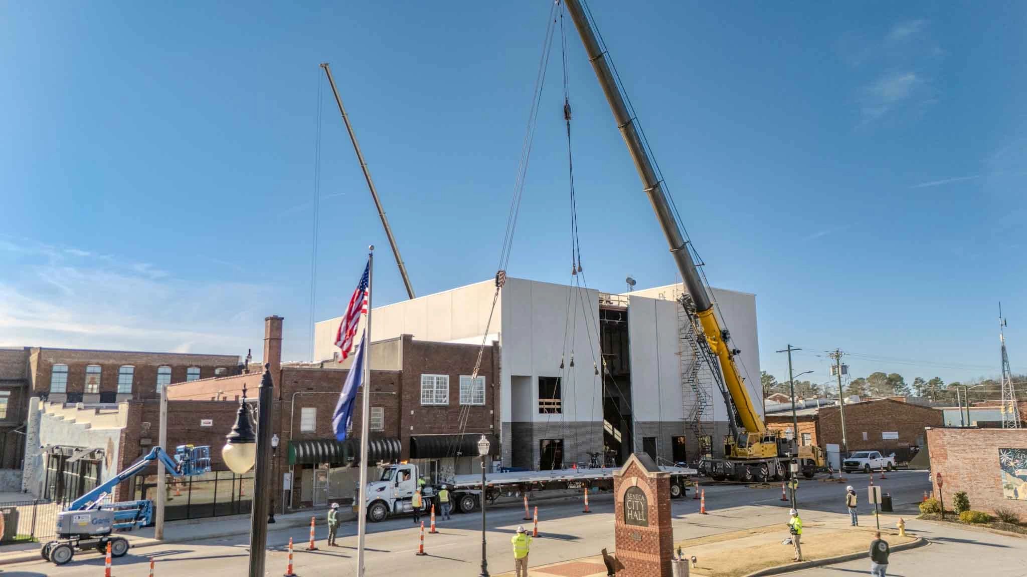
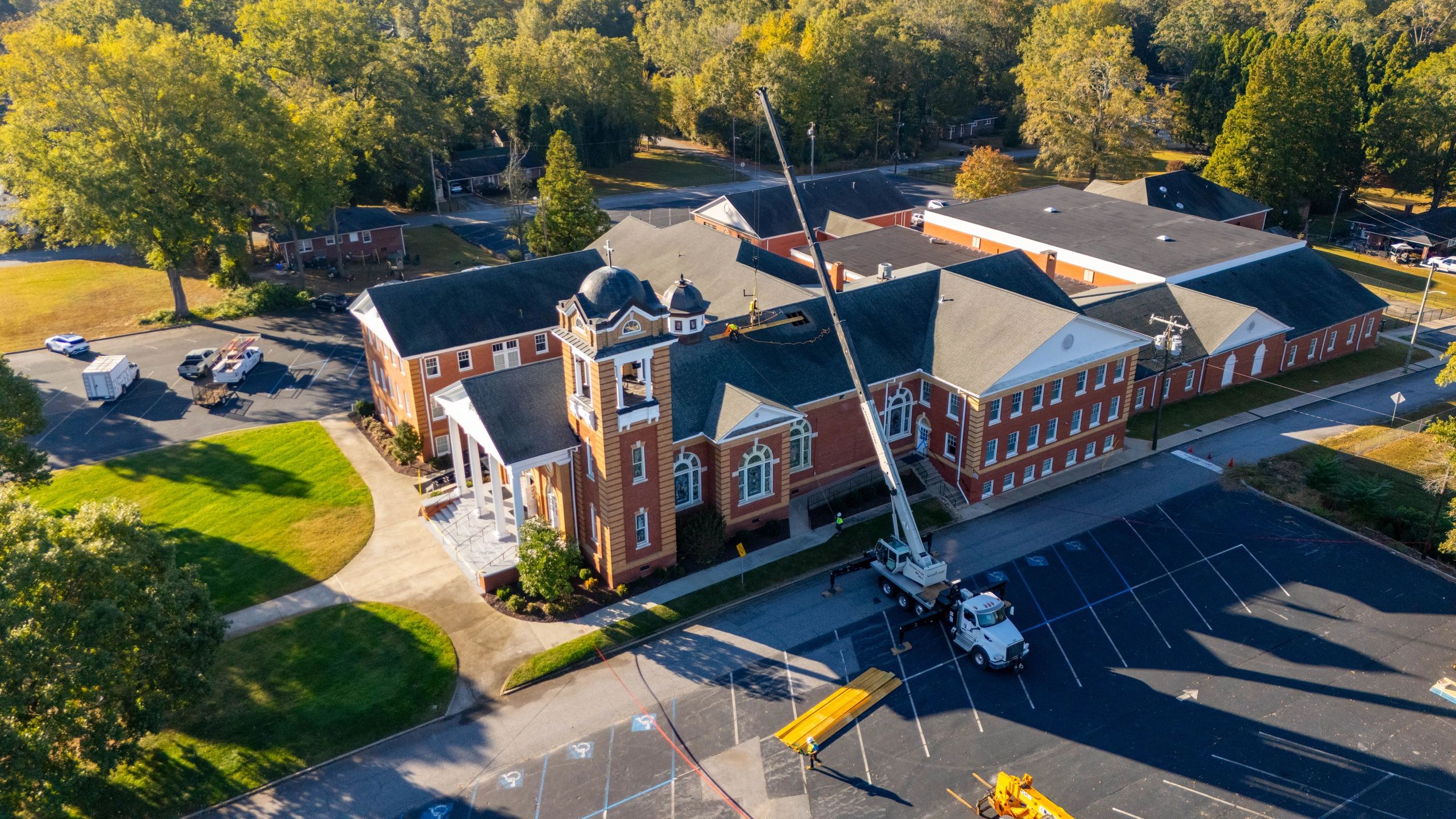
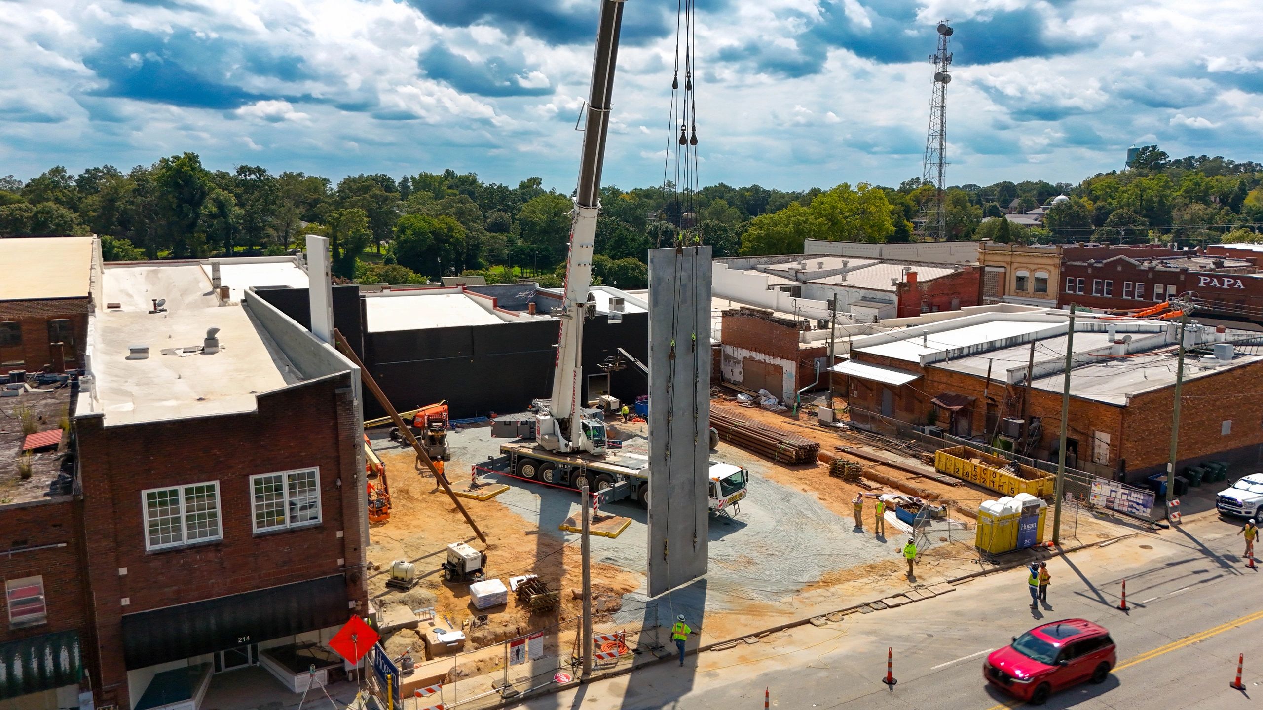
Drone photography gives project teams a view that is difficult to recreate from the ground. A single aerial image can show the building, parking areas, access roads, material staging, drainage features, and surrounding property at the same time.
Drone photos are especially useful for documenting:
- Grading, clearing, and overall site development
- Building pads, foundations, and structural progress
- Roofing and large exterior scopes
- Paving, curb, sidewalks, and parking areas
- Equipment access and material staging
- Changes in site logistics over time
- Overall progress across large or spread-out projects
When photos are taken from consistent locations, the team can compare one visit to the next without trying to determine where each image was captured. This creates a clear visual timeline that can support progress meetings, owner updates, and the project record.
What Ground Photos Capture Best
Ground photography provides the detail that an aerial view cannot. It is the better choice for interior work, close-up conditions, and items that need to be documented before they are covered.
Ground photos are typically more useful for:
- Mechanical, electrical, and plumbing rough-ins
- In-wall or above-ceiling conditions
- Waterproofing, flashing, and sealant details
- Interior finishes and room-by-room progress
- Equipment labels and product information
- Damage, deficiencies, and punch-list items
- Close-up views of change-order or warranty conditions
A drone may show that roofing is progressing across a large building, for example, while ground-level or close-up photography shows the specific flashing, penetration, or edge condition the team needs to review.
Ground photos also make it easier to document work before drywall, ceilings, concrete, landscaping, or other finishes conceal it. Those images can become valuable later if the team needs to confirm where something was installed.
Where 360-Degree Walkthroughs Fit
Traditional photos capture selected views. A 360-degree walkthrough provides broader spatial context by allowing someone to look around the space and understand how rooms, corridors, and work areas connect.
This can be helpful for:
- Remote owner or design-team reviews
- Interior progress tracking
- Documenting large numbers of rooms
- Reviewing layout and access conditions
- Recording the condition of a space before closeout
- Reducing the time spent sorting through disconnected phone photos
360 documentation does not replace detailed close-ups or required inspections. Its value is helping someone understand the space as if they were standing inside it.
Where Each Method Falls Short
Drone photography provides excellent overall context, but it cannot document most interior work, concealed conditions, or small construction details. Weather, airspace, site activity, and safety requirements may also affect when a flight can be completed.
Ground photography captures details, but a collection of close-up photos can make it difficult to understand the full site. Reviewers may not know where each image was taken or how one condition relates to another area of the project.
360 walkthroughs provide strong spatial context, but they are not always the best format for quick reports, marketing images, or detailed deficiency documentation.
Understanding these limitations helps the project team choose the right tool instead of expecting one type of photography to handle every documentation need.
A Practical Photography Plan by Project Phase
The most useful combination often changes as construction progresses.
Pre-construction
Use aerial and ground photos together to establish the original condition of the property, adjacent roads, neighboring improvements, drainage areas, and existing features.
Sitework and structure
Make drone photography the primary overview tool. Add ground photos for underground utilities, reinforcing, formwork, deliveries, and conditions that will soon be covered.
Building enclosure
Use aerial photos to track roofing and exterior progress. Use ground photography for waterproofing, flashing, openings, and envelope details.
Interior construction
Shift the focus toward ground photography and 360 walkthroughs. Periodic drone flights can still document exterior completion, paving, landscaping, and site access.
Closeout
Capture final aerial images of the completed property along with ground and interior photos. The result is both a closeout record and a set of professional images the contractor, owner, and developer can use to showcase the finished project.
How to Make the Photos More Useful
The value of construction photography depends on more than image quality. A strong documentation process should also include:
- Consistent aerial angles and ground-level viewpoints
- A shot list based on current project activities
- Folders clearly organized by project and date
- High-resolution files that are easy to download and share
- Coverage of milestone work before it is concealed
- A dependable schedule and turnaround time
- An FAA-licensed and insured drone operator for aerial work
A photographer who understands construction can focus on the areas that matter to project managers, superintendents, owners, and design teams—not just the views that look impressive.
The Best Choice Is Often a Combination
Drone photos, ground photos, and 360 walkthroughs solve different documentation problems. Aerial images provide the big picture. Ground photography records the details. A 360 walkthrough helps remote team members understand the space between those details.
For many commercial projects, combining these services creates a more complete and useful record than relying on only one method. The right mix depends on the phase of construction, the size of the project, and who needs to review the images.
Owens Aerial provides construction drone photography, ground-level project photography, and visual documentation for general contractors, developers, owners, and project teams throughout Greenville, Simpsonville, Fountain Inn, Laurens, Anderson, Spartanburg, Greenwood, and surrounding areas of Upstate South Carolina.
Contact Owens Aerial to discuss a photography plan built around your project, schedule, and documentation needs.