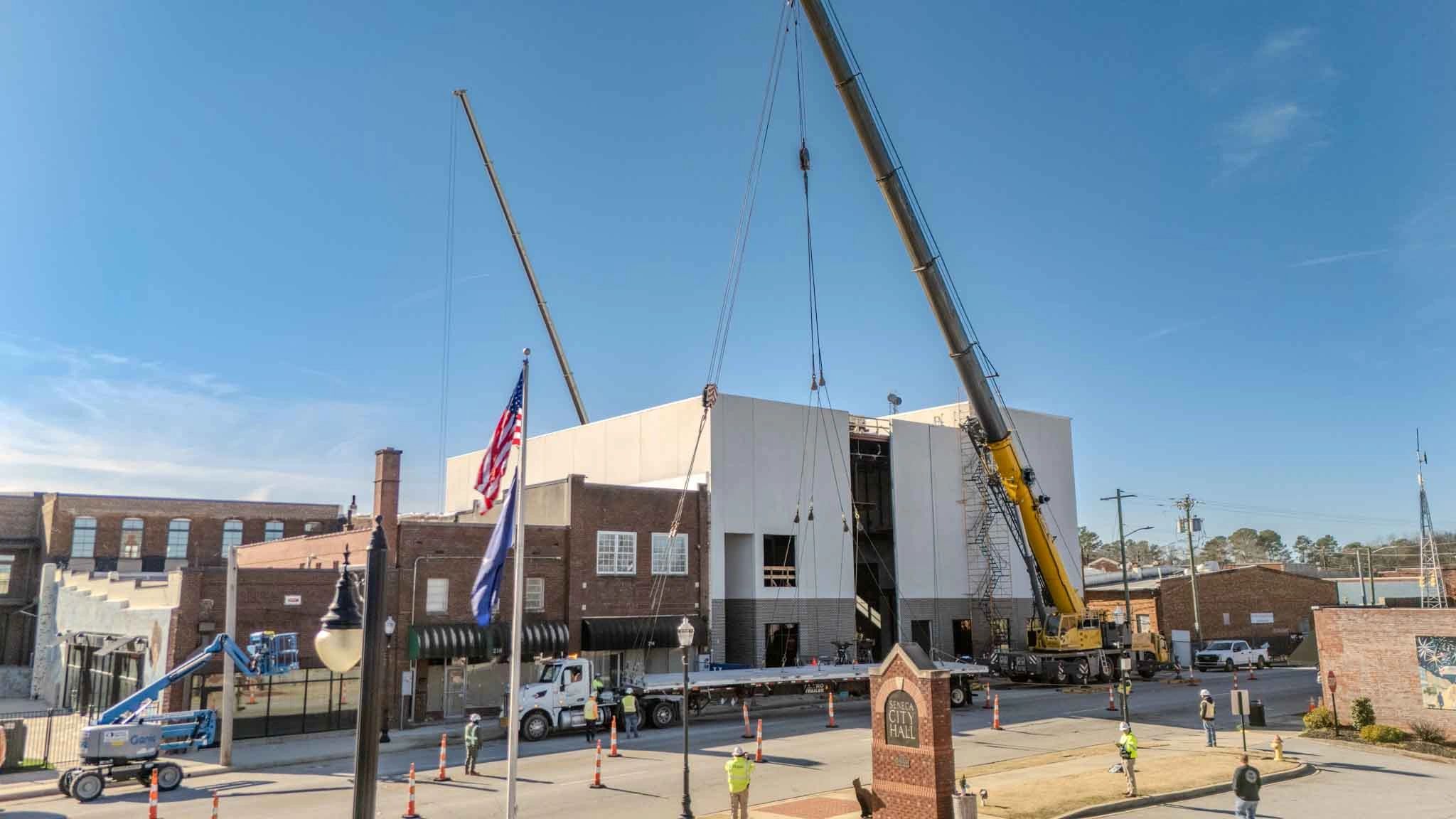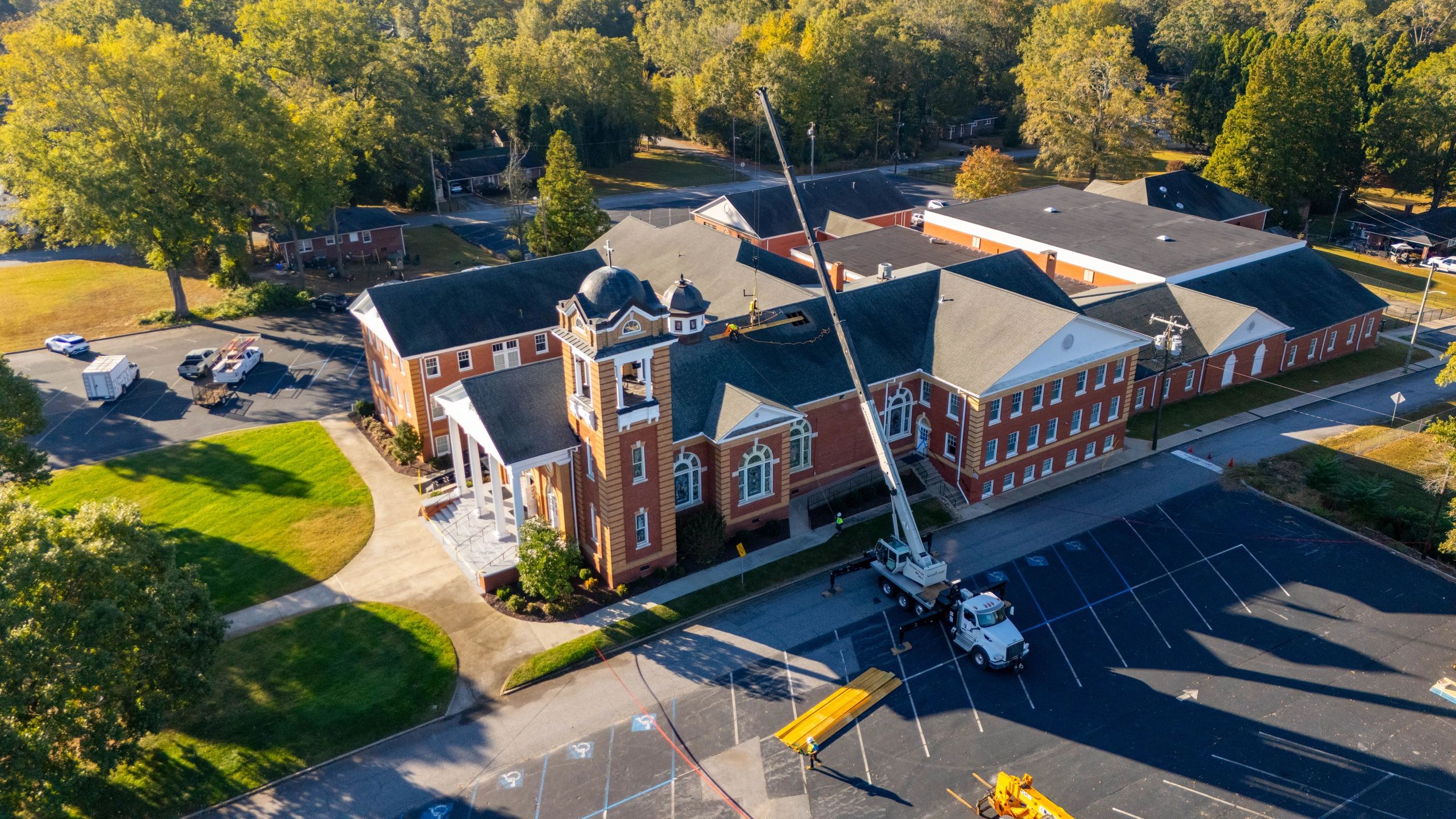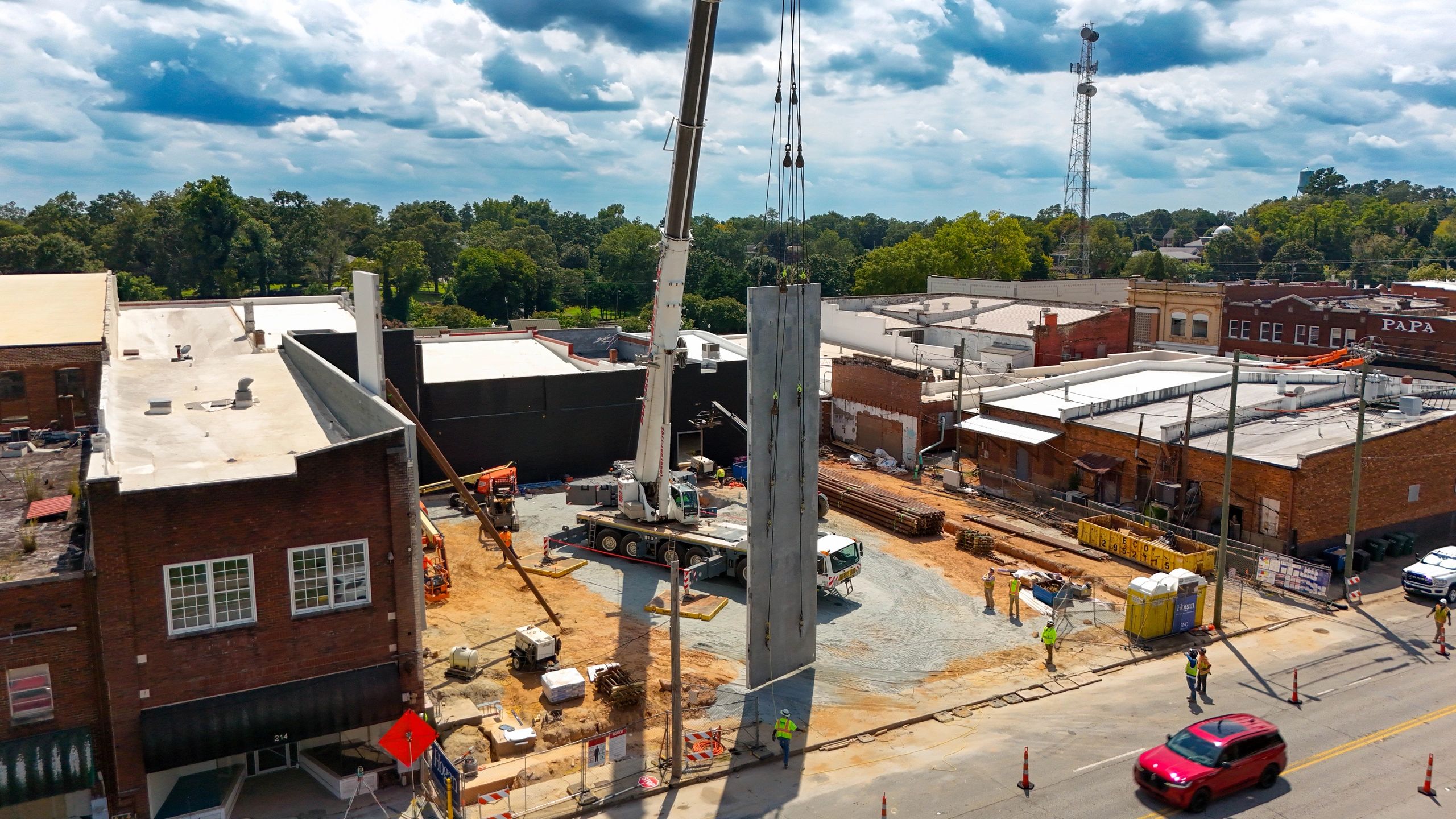
Construction projects can change significantly in only a few weeks. Grading begins, underground utilities disappear beneath the ground, structural work takes shape, and exterior improvements can quickly transform the entire site.
Drone photography can document these changes, but the timing of each flight determines how useful the images will be.
A flight scheduled at the right construction milestone can establish existing conditions, improve site communication, support progress reporting, document work before it is covered, and create a complete visual history of the project. Waiting too long between flights can leave important gaps in that record.
For general contractors, developers, owners, and project managers, the following seven milestones are some of the most valuable times to schedule construction drone photography.
1. Before Construction Begins
One of the most important drone flights happens before equipment begins clearing or grading the property.
Pre-construction photos establish a visual baseline of the entire site and its surrounding conditions. These images may document:
- Existing roads, curbs, and sidewalks
- Neighboring properties and buildings
- Drainage areas, ditches, and ponds
- Trees and existing vegetation
- Fences, signs, and utility structures
- Undisturbed ground conditions
- Construction entrances and nearby traffic patterns
This record gives the project team something to reference if questions arise later about previous damage, drainage, access, or neighboring property conditions.
Ground photos are still valuable, but they normally show individual areas. Aerial images provide context by showing how those areas relate to the entire property.
Even if the project does not need recurring drone photography, a pre-construction flight is a valuable form of documentation.
2. After Clearing and Rough Grading
The next useful milestone is after clearing has taken place and rough grading is underway.
At this stage, aerial photos can clearly show the developing layout of the site. The project team can see building pads, access roads, laydown areas, major slopes, detention areas, and the general flow of construction operations.
These images can help teams review:
- Site access and delivery routes
- Equipment and material staging
- Temporary parking areas
- Building pad locations
- Major cuts and fills
- Drainage paths and sediment-control measures
- Available space for upcoming trades
Aerial views are especially helpful on sites where limited access or tight working conditions require careful coordination.
The images do not replace the civil drawings, survey data, or field measurements. They provide a current visual reference that can make coordination discussions easier to understand.
3. During Underground Utility Installation
Underground utilities are one of the most important scopes to document because the work will eventually be covered.
Drone photos taken during utility installation can show the general routes of storm drainage, sanitary sewer, water, electrical, and other site utilities before backfilling occurs.
These photos may help document:
- Utility routes across the site
- Connections to existing systems
- Structures, manholes, and cleanouts
- Areas affected by utility conflicts
- Open trenches and active work zones
- Relationships between utilities and building foundations
- General conditions before backfill
Aerial photography should not be treated as a replacement for surveyed as-built drawings. However, it can provide additional context if the project team later needs to understand where work occurred or review the sequence of installation.
This stage can move quickly, so it may require more frequent or specially scheduled flights instead of waiting for the next regular monthly visit.
4. During Foundations and Structural Construction
Once foundations and structural work begin, the project starts taking recognizable shape.
Drone photos can document the building footprint, foundation progress, structural framing, roof installation, and the connection between the building and surrounding site improvements.
Useful milestones may include:
- Footings and foundations
- Concrete slab placement
- Structural steel erection
- Precast installation
- Wood or metal framing
- Roof decking and roofing
- Large equipment placement
- Major building additions
Aerial images are particularly helpful for documenting roof and structural progress that may be difficult to see from the ground.
Consistent photos from the same locations also make it easier to compare how much work was completed between visits. This gives owners and project partners a clearer understanding of progress without requiring them to walk every area of the jobsite.
5. When the Building Reaches Dry-In
Dry-in is another valuable milestone because it represents a major transition in the project.
At this stage, the roof, exterior walls, storefronts, windows, and exterior openings are substantially enclosed. Interior work may begin accelerating while exterior improvements continue around the building.
A drone flight can document:
- Roofing progress
- Exterior wall installation
- Windows and storefronts
- Exterior sheathing
- Building entrances
- Canopies and covered walkways
- Remaining exterior openings
- Conditions around the building perimeter
These images can help communicate that the project is moving from structural construction into enclosure and interior finishes.
Roof photos may also identify visible areas requiring closer review, although a drone flight should never replace required roof inspections or quality-control procedures.
6. During Paving and Final Site Improvements
The property can change quickly once curbs, sidewalks, asphalt, landscaping, and other final site improvements begin.
Drone photos provide an effective way to capture these improvements because a single aerial image may show the parking lot, sidewalks, building entrances, drainage areas, landscaping, and traffic flow at the same time.
This stage is useful for documenting:
- Curb and gutter installation
- Sidewalks and accessible routes
- Base course and asphalt paving
- Parking layouts and striping
- Loading and service areas
- Landscaping and irrigation
- Stormwater improvements
- Exterior lighting and site features
Aerial photos can also help the team review remaining sitework before closeout. Areas that appear complete from one location may still have unfinished transitions, missing striping, or disturbed landscaping elsewhere on the property.
These photos provide an organized overview that can support the project team’s normal punch-list and closeout process.
7. At Substantial and Final Completion
Every project should have a final set of professional photos after construction is complete.
Final aerial photography documents the finished condition of the building and property. These images become part of the project record while also giving the contractor, developer, architect, and owner professional material for future use.
Completed-project photos may be used for:
- Company websites
- Proposal and qualification packages
- Social media
- Award submissions
- Owner presentations
- Leasing and property marketing
- Project portfolios
- Future maintenance references
Whenever possible, it can be helpful to schedule one flight around substantial completion and another after punch-list work, landscaping, and final cleaning are complete.
The substantial-completion flight documents the actual construction milestone, while the final flight presents the property at its best.
How Often Should Construction Drone Photos Be Taken?
The right frequency depends on the size, pace, and complexity of the project.
For many commercial construction projects, one scheduled flight each month provides a consistent progress record. Faster-moving projects or those with extensive sitework may benefit from biweekly flights during major construction phases.
A smaller project may only need milestone-based flights, such as:
- Before construction
- After grading
- During structural work
- At dry-in
- During final sitework
- At completion
The most important consideration is consistency. Taking random photos at irregular intervals can leave gaps in the project history. A planned schedule gives the team a clearer record of how the site changed from one phase to the next.
Additional flights can always be scheduled when unexpected conditions, major deliveries, weather events, or important project milestones occur.
What Should Each Progress Flight Include?
Construction drone photography should provide more than a few attractive aerial images. Each flight should capture views that are useful to the people managing the project.
A consistent progress flight may include:
- Wide views from each corner of the property
- Straight-down overhead images
- Building exterior and roof progress
- Access routes and delivery areas
- Material and equipment staging
- Parking and site improvements
- Drainage areas and surrounding conditions
- Detailed views of current construction milestones
Using similar flight locations and camera angles during each visit makes comparisons easier. Organized folders labeled by project and date also help the team locate the images when they are needed.
The goal is to create a visual record—not simply a collection of unrelated photographs.
Choosing a Construction Drone Photographer
Commercial drone work should be completed by a qualified provider who understands both aviation requirements and active construction environments.
When selecting a construction drone photographer, look for:
- A current FAA Remote Pilot Certificate
- Appropriate insurance coverage
- Experience around active jobsites
- An understanding of construction sequencing
- Consistent flight paths and camera angles
- Organized image delivery
- Reliable scheduling and turnaround
- Clear communication with the project team
The FAA requires pilots conducting business-related drone operations to follow its Part 107 requirements. Working with someone who understands construction can also help ensure that each flight focuses on the areas that matter to contractors, owners, and project managers.
Construction Drone Photography in Upstate South Carolina
Owens Aerial provides professional construction drone photography throughout Greenville, Simpsonville, Fountain Inn, Laurens, Anderson, Spartanburg, Greenwood, and surrounding areas of Upstate South Carolina.
With a background in construction and experience around active jobsites, Owens Aerial focuses on providing organized and useful visuals—not just impressive aerial views.
Whether your project needs a pre-construction baseline, milestone photography, or recurring monthly progress documentation, we can develop a flight schedule that fits the project’s timeline and priorities.
Contact Owens Aerial at brayden@owensaerial.com or (864) 871-3260 to request a free quote for your next construction project.