Construction projects are constantly changing. From site clearing and grading to structural work, exterior finishes, and final completion, every phase of a project creates conditions that need to be tracked and documented.
For general contractors, jobsite documentation has always been important. Superintendents, project managers, owners, architects, and subcontractors all rely on photos and updates to understand what is happening on site. Traditionally, this documentation has come from ground-level photos, site walks, meeting notes, and written reports.
While those methods are still valuable, many contractors are now adding drone progress photos to their regular documentation process.
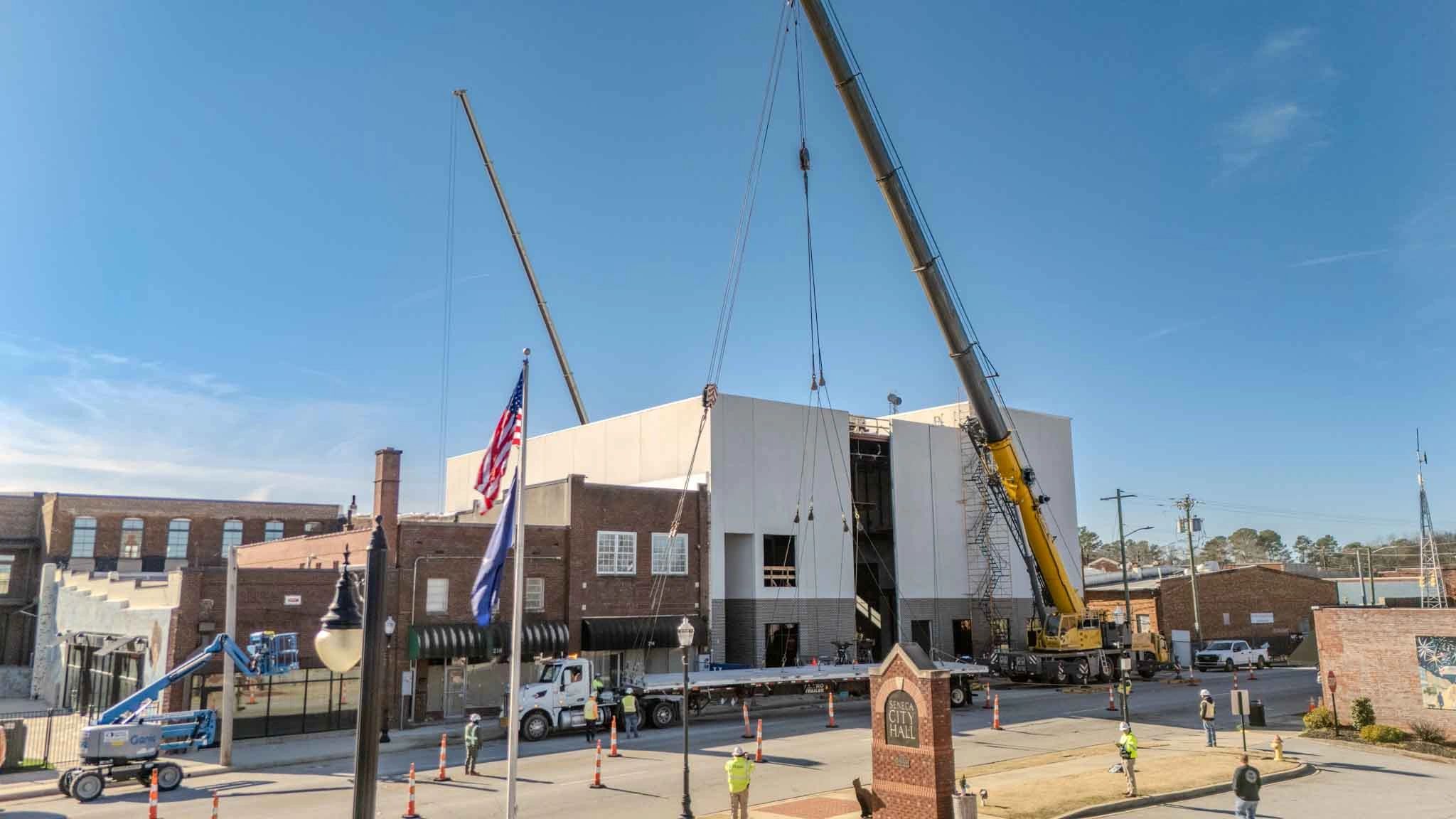
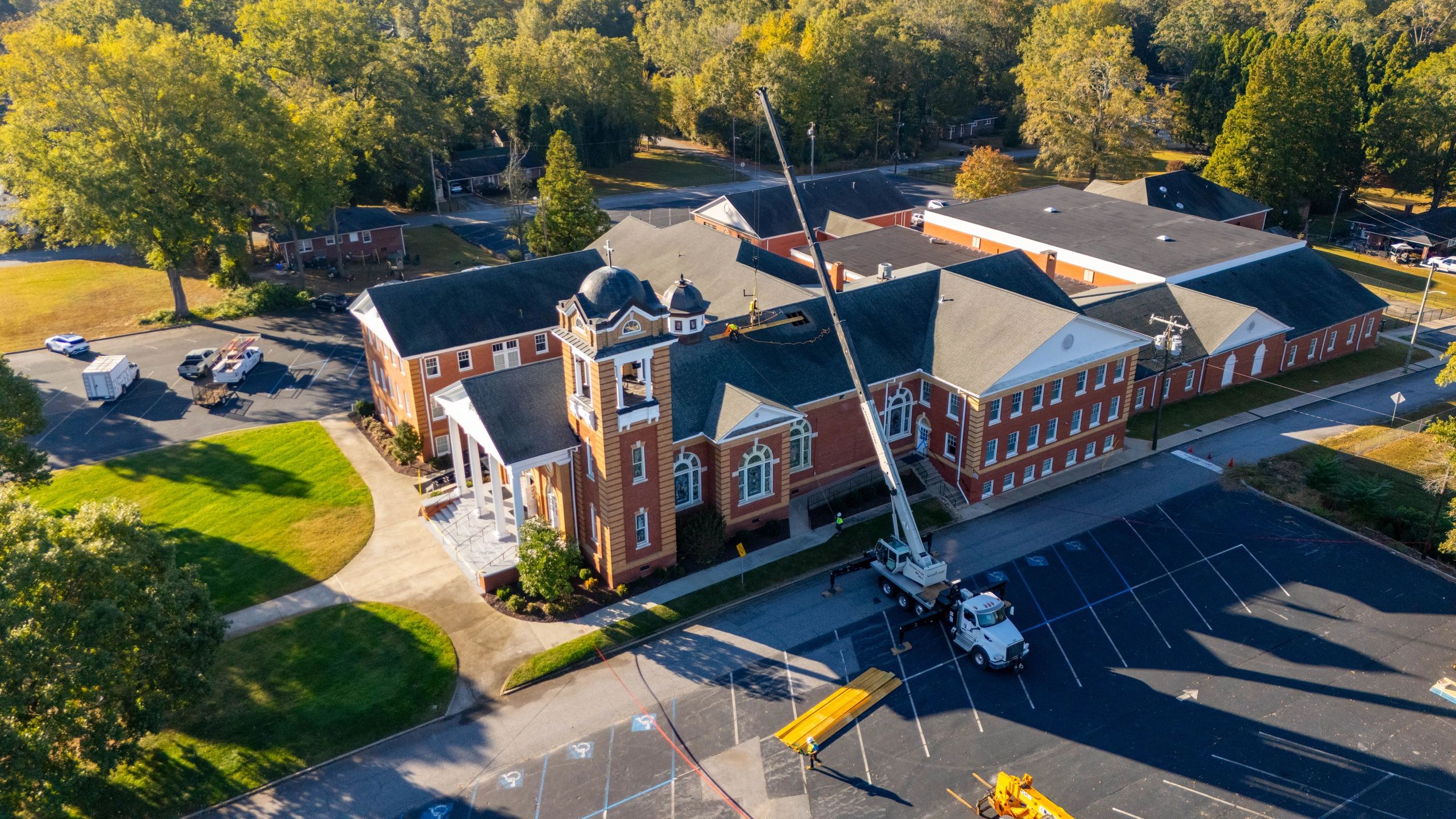
Drone progress photography gives project teams a clear aerial view of the entire jobsite. Instead of only seeing isolated areas from the ground, contractors can capture the full layout, overall progress, site logistics, material staging, access points, and major construction milestones from above.
This broader perspective helps general contractors improve communication, strengthen project records, and make better decisions throughout the life of a project. As covered in your reference blog structure, consistent aerial documentation is especially valuable because it creates a reliable visual timeline of how a project evolves over time.
In this article, we’ll break down why more general contractors are adding drone progress photos to their jobsite documentation and how they can benefit construction teams.
1. Drone Photos Give Contractors a Complete View of the Jobsite
One of the biggest benefits of drone progress photos is the ability to see the entire project from one perspective.
Ground-level photos are useful for showing close-up details, but they can make it difficult to understand how everything on the site fits together. A superintendent may take photos of a specific work area, but those photos usually do not show the full site layout, access routes, staging areas, or overall progress.
Drone photos help contractors see:
- Site clearing and grading progress
- Building pad preparation
- Foundation and slab progress
- Roofing and exterior work
- Parking lots, paving, and sidewalks
- Material laydown areas
- Site access and traffic flow
- Overall project organization
This complete view gives project teams better visibility into what is happening across the entire jobsite.
For general contractors managing multiple trades, schedules, and work areas, that broader perspective can be extremely valuable.
2. Drone Progress Photos Improve Owner Communication
Owners and stakeholders do not always visit the jobsite regularly. Even when they do, it can be difficult for them to fully understand progress from ground-level photos or written updates alone.
Drone progress photos make project updates easier to understand.
Instead of explaining progress through long emails or complicated reports, contractors can share clear aerial images that show exactly how the project is moving forward.
This helps owners see:
- How much work has been completed
- Where progress is happening on site
- How the project compares to previous months
- How the overall site is developing
- What major milestones have been reached
Aerial photos are especially helpful for owners who are not familiar with construction. They provide a simple visual update that is easy to understand without needing to walk the entire site.
For general contractors, this can lead to fewer questions, better communication, and more confidence from the owner.
3. Drone Documentation Creates a Visual Project Timeline
Construction projects can last months or even years. During that time, site conditions change constantly.
Drone progress photos allow contractors to create a visual timeline of the project from start to finish. By capturing photos from consistent angles and elevations, project teams can clearly see how the jobsite has changed over time.
This timeline can be useful for:
Monthly owner updates
- OAC meeting visuals
- Internal progress tracking
- Project closeout records
- Marketing and portfolio content
- Future reference after completion
A consistent aerial record gives contractors a reliable way to look back at previous site conditions and understand when certain work took place.
This can be especially valuable when questions come up later in the project.
4. Drone Photos Help Track Site Logistics
Site logistics are a major part of construction management. Material deliveries, access roads, laydown areas, equipment locations, temporary fencing, and trade coordination all affect how efficiently a project runs.
Drone progress photos give contractors a better way to review these logistics from above.
Aerial images can help project teams see:
- Where materials are being stored
- Whether access roads are clear
- How equipment is positioned
- How much space is available on site
- Where trades are working
- How site conditions are affecting workflow
This can be especially helpful on tight jobsites or projects with limited access.
For general contractors, better visibility into site logistics can support better planning and coordination.
5. Drone Photos Can Help Identify Issues Earlier
Drone progress photos are not a replacement for inspections, layout verification, or superintendent oversight. However, they can help teams notice potential issues earlier.
From the air, it may be easier to spot things that are difficult to see from the ground, such as:
- Drainage concerns
- Grading issues
- Access problems
- Material storage conflicts
- Trade congestion
- Site organization problems
- Progress delays in certain areas
When contractors have a clear view of the entire site, they can catch issues before they become larger problems.
This does not mean every issue will be obvious from a drone photo, but aerial documentation gives the project team another tool for reviewing the jobsite.
6. Drone Photos Strengthen Project Records
Documentation matters in construction.
Photos can help confirm completed work, show site conditions, and provide a record of progress at different stages of the project. Drone photos add another layer to that documentation by showing the full site from above.
This can be useful when reviewing:
- Progress at the time of a pay application
- Weather-related site conditions
- Site access or staging conditions
- Work completed during a specific month
- Before-and-after project conditions
- Overall project development
A strong photo record can help reduce confusion when questions come up later.
For general contractors, having consistent documentation can be valuable for both communication and recordkeeping.
7. Drone Photos Support Pay Applications and Progress Reports
Many general contractors use progress photos as part of their pay application process or monthly project reports.
Drone photos can make those reports stronger by showing clear visual evidence of completed work.
For example, aerial images can help document:
- Sitework progress
- Building pad preparation
- Concrete placement
- Roofing progress
- Parking lot installation
- Exterior improvements
- Overall project completion percentage
This can make it easier for owners, lenders, or other stakeholders to understand what has been completed.
When paired with written updates and ground-level photos, drone documentation gives a more complete picture of project progress.
8. Drone Content Can Be Used for Marketing
While drone progress photos are valuable for documentation, they can also support marketing.
General contractors often use drone photos and videos to showcase their work on websites, social media, proposals, and project portfolios.
Aerial content can help show:
- The scale of a project
- The quality of completed work
- Before-and-after transformation
- Active jobsite progress
- Company experience in specific project types
This is especially helpful for contractors working on commercial buildings, schools, churches, industrial facilities, multi-family developments, and large sitework projects.
The same photos used for documentation can often become valuable marketing assets after the project is complete.
Why Consistency Matters
The value of drone progress photography increases when it is done consistently.
One random drone flight can provide a helpful view of the site, but regular flights create a much stronger record. Capturing photos from the same general angles over time allows the project team to compare progress from month to month.
Consistent drone documentation helps contractors:
- Track changes over time
- Compare current progress to previous months
- Create professional owner updates
- Maintain a visual project archive
- Show the full story of the project from start to finish
For many projects, monthly drone flights are enough to create a reliable timeline. Faster-moving or more complex projects may benefit from bi-weekly or weekly updates.
The key is having a consistent process that supports the project team’s documentation needs.
Frequently Asked Questions
Are drone progress photos only useful for large construction projects?
No. While large projects often benefit the most from aerial documentation, smaller projects can still gain value from improved visibility, owner updates, and project records.
Do drone photos replace ground-level photos?
No. Drone photos should support ground-level documentation, not replace it. Ground photos are better for close-up details, while drone photos are better for showing the full site.
How often should general contractors schedule drone progress photos?
Many contractors schedule drone flights monthly. Faster-moving projects may benefit from bi-weekly or weekly flights depending on the project schedule and reporting needs.
Can drone photos be used in owner meetings?
Yes. Drone photos are a great tool for OAC meetings, progress updates, and stakeholder communication because they make it easier to visually explain what is happening on site.
Will drone flights disrupt construction work?
No. Most drone flights can be completed quickly and safely without interrupting normal jobsite operations.
The Growing Role of Drone Documentation in Construction
Drone photography is becoming more than just a marketing tool for construction companies.
For many general contractors, it is becoming a practical part of project documentation. Aerial imagery helps teams communicate better, track progress, review logistics, and maintain a clearer record of the jobsite.
As construction projects become more complex and owners expect better communication, drone progress photos give contractors a simple way to improve visibility.
They help answer one of the most important questions on any project:
What is actually happening on site?
With regular aerial documentation, that answer becomes much easier to see.
Final Thoughts
General contractors are adding drone progress photos to their jobsite documentation because they provide a clear, useful, and professional way to track construction progress.
Drone photos help contractors see the full site, communicate better with owners, document changing conditions, and create a visual timeline of the project.
Key takeaways:
- Drone photos provide a complete view of the jobsite
- Aerial imagery improves owner and stakeholder communication
- Consistent photos create a valuable project timeline
- Drone documentation helps track site logistics and progress
- Aerial photos can support pay applications, reports, and marketing
- Drone progress photos work best when combined with ground-level documentation
For general contractors, better documentation leads to better communication and stronger project records.
Sometimes, the best way to understand a construction project is to see it from above.