Why the Right Drone Photographer Can Make or Break Your Project
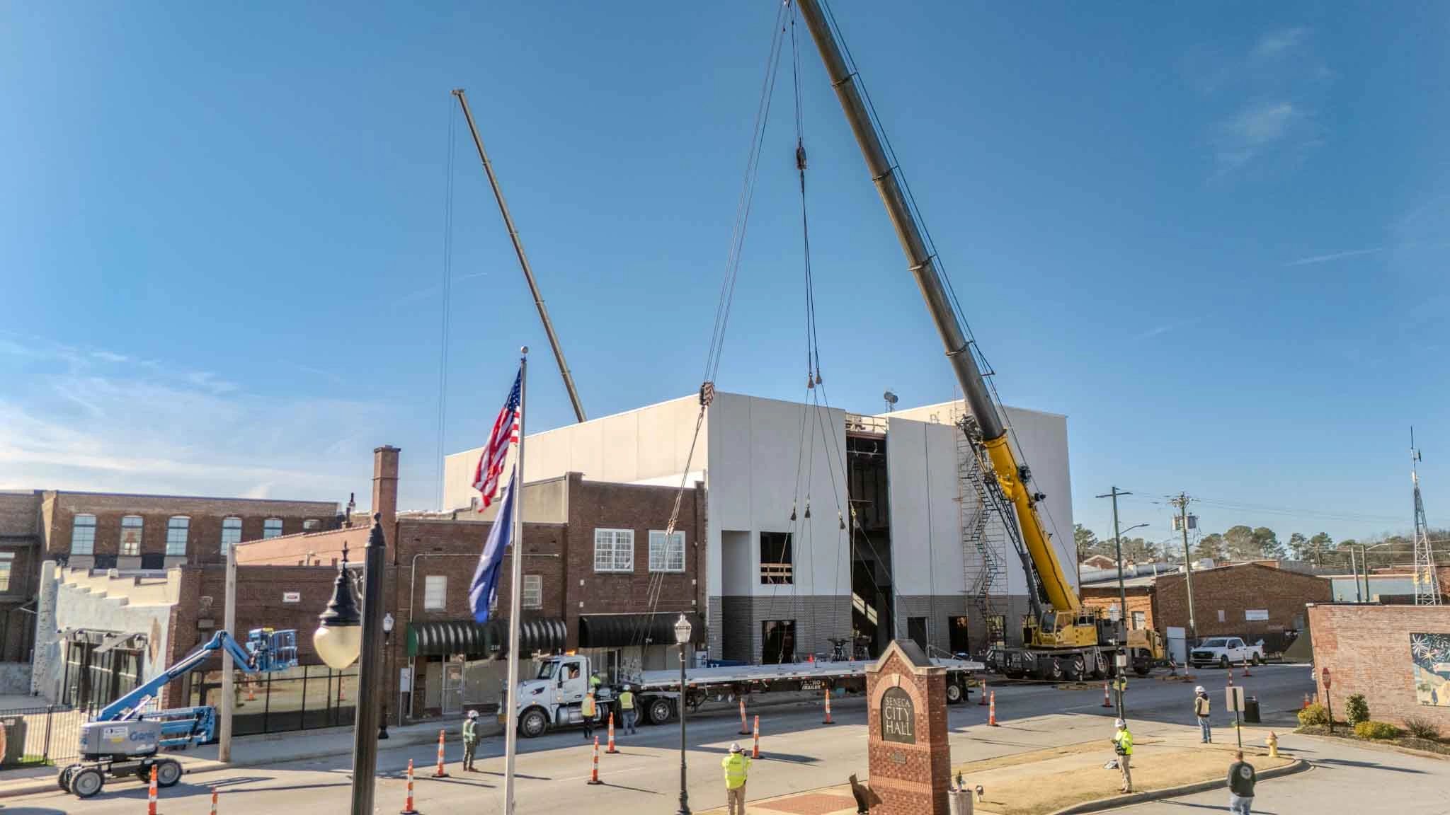
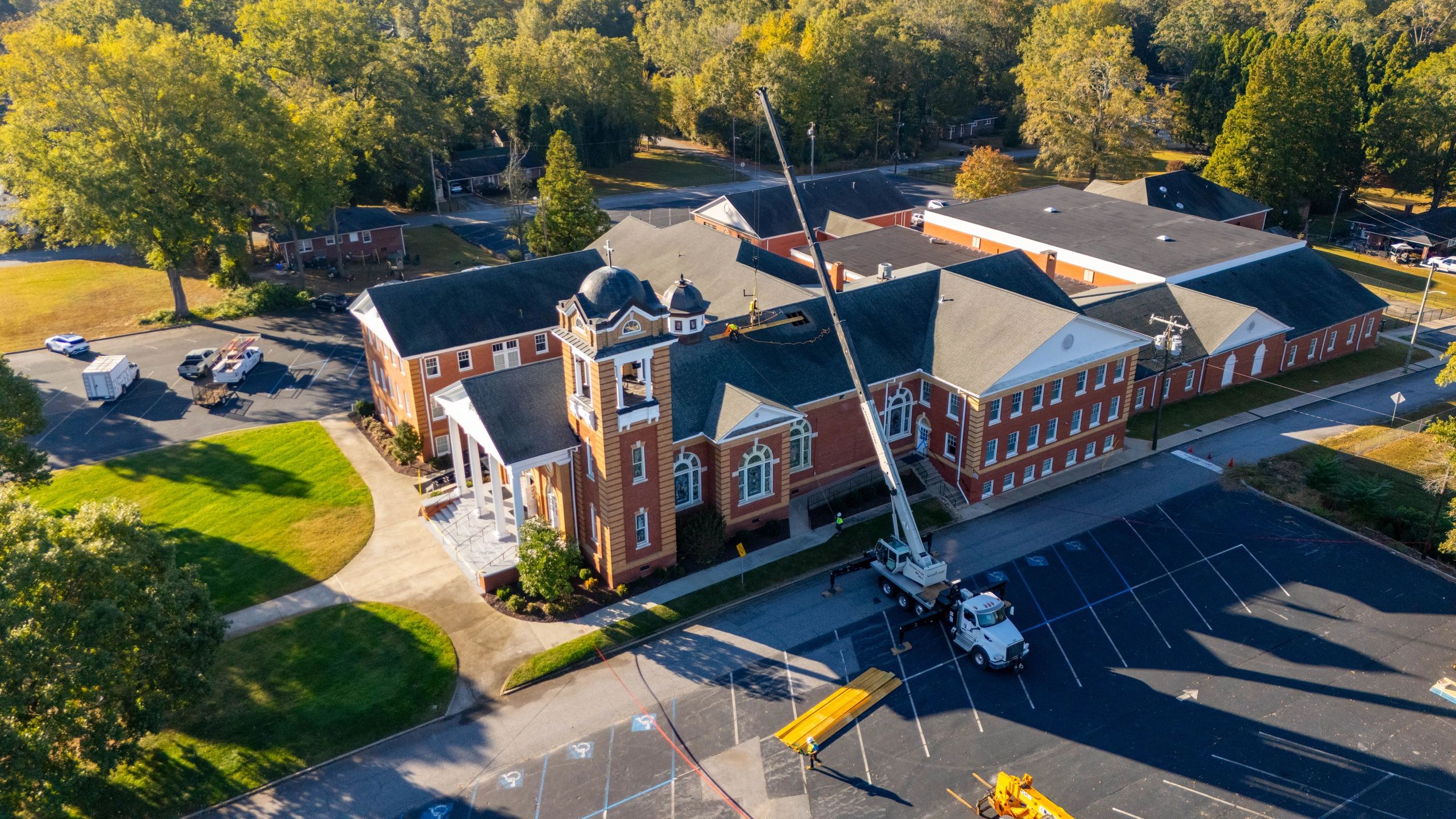
In today’s competitive market, high-impact visuals aren’t a luxury—they’re a necessity. For real estate listings, construction progress reports, or commercial marketing campaigns, aerial imagery often serves as the first impression. A skilled drone photographer doesn’t just capture a bird’s-eye view; they deliver data-rich, visually compelling content that highlights scale, context, and progress with precision. On the other hand, poor aerial work can misrepresent property dimensions, obscure key features, or even violate local flight regulations—costing time, credibility, and revenue.
Choosing the right professional means evaluating more than just camera quality. Look for operators who understand site documentation workflows, can maintain consistent flight patterns for time-lapse comparisons, and prioritize safety and compliance—especially in controlled airspace zones common near urban developments. Whether you're showcasing a new housing development in Charlotte or documenting a commercial build in Asheville, localized expertise ensures adherence to regional restrictions and weather-responsive scheduling.
In the following sections, you’ll learn how to assess technical capabilities, verify licensing and insurance, decipher deliverables, and ensure your selected drone photographer aligns with your project lifecycle—from pre-construction surveys to final walkthroughs.
Verify FAA Licensing in 3 Simple Steps
Choosing a qualified drone photographer starts with confirming their FAA licensing—a non-negotiable for legal and safe operations. The Federal Aviation Administration (FAA) requires all commercial drone pilots to hold a Remote Pilot Certificate under Part 107. Without this, operators are flying illegally, which can jeopardize your project and expose you to liability.
Follow these steps to verify credentials:
- Ask for Their FAA Remote Pilot Certificate Number – Every certified drone operator has a unique identifier. Request this directly when vetting photographers.
- Check the FAA Drone Zone Website – Visit the official FAA portal and use the Temporary Certificate Search or Drone Zone tools. Enter the pilot’s certificate number to confirm it’s active and current.
- Confirm Valid Insurance and Local Compliance – In cities like Greenville, Charleston, or Myrtle Beach, local regulations may add additional requirements. Ensure the operator carries liability insurance and understands airspace restrictions in your area.
Pro tip: Always request proof of certification before booking. A legitimate drone service will gladly provide this. Working only with licensed pilots protects your investment and ensures high-quality, compliant aerial work—whether for real estate, construction progress, or commercial content.
Why Liability Insurance Matters When Hiring a Drone Photographer
Hiring a drone photographer involves more than just stunning visuals—it’s about minimizing risk. One often overlooked but critical factor is whether the operator carries liability insurance. This coverage protects you, the client, in the unlikely event of property damage or personal injury caused during a flight. Without it, you could be held financially responsible for unexpected incidents, especially on commercial or construction sites in urban areas like Greenville or Charleston.
Reputable drone professionals understand that insurance isn’t optional—it’s a cornerstone of responsible aerial operations. When evaluating a provider, always request proof of insurance and verify that it includes bodily injury, property damage, and equipment coverage. This ensures protection whether the drone encounters turbulence near a high-rise or experiences technical issues in a residential neighborhood.
Think of insurance as a safety net that safeguards your project, timeline, and budget. It demonstrates the operator’s commitment to professionalism and regulatory compliance, especially when flying in controlled airspace or near public spaces. A licensed, insured drone service adheres to FAA Part 107 guidelines and follows strict flight protocols. Before scheduling your shoot, confirm that liability coverage is active and adequate for the scope of your job—this simple step can prevent costly setbacks and provide peace of mind from launch to landing.
Step-by-Step: How to Evaluate a Drone Photographer’s Portfolio Like a Pro
Choosing the right drone photographer starts with a thorough review of their portfolio—your best indicator of quality, consistency, and style. Follow these steps to make an informed decision.
1. Assess Image Clarity and Technical Precision Look for sharp, well-exposed images with balanced lighting and minimal distortion. High-resolution shots should maintain detail even when zoomed. Pay attention to horizon alignment and camera stability—tilted horizons or blurry footage suggest operator inexperience. 2. Evaluate Flight Composition and Creativity Strong portfolios showcase intentional framing, dynamic angles, and thoughtful flight paths. Look for variety in shot types—orbital circles, reveal shots, and top-down perspective—indicating technical skill and artistic vision. 3. Check for Industry-Specific Work If you’re in real estate or construction, ensure the photographer has relevant samples. Rooftop inspections, site progress timelapses, or twilight property shots require different expertise than landscape cinematography. 4. Review Video Smoothness and Editing Quality Watch sample reels for steady flight motion, seamless transitions, and professional color grading. Jerky movements or overused effects can detract from content quality. 5. Look for Geographic Familiarity Photographers with experience in your local area—such as Upstate SC or the Greenville metro—understand regional terrain, weather patterns, and airspace regulations, ensuring smoother operations.
Mastering Safety and Flight Standards in Drone Operations
When selecting a drone photographer, understanding safety protocols and flight operation standards is essential for ensuring a successful, compliant, and risk-free aerial project. Licensed drone pilots are required to follow strict Federal Aviation Administration (FAA) regulations, including maintaining visual line-of-sight (VLOS), flying below 400 feet, and avoiding restricted airspace such as airports or emergency zones.
A professional operator should always conduct a pre-flight site assessment, checking weather conditions, terrain, and potential hazards. They’ll use geofencing technology to prevent unauthorized flights in no-drone zones and leverage real-time GPS tracking for precise control. Look for pilots who adhere to a formal safety management system (SMS), which includes emergency procedures and equipment checks.
In areas like urban construction sites or coastal regions, additional precautions—such as temporary flight restrictions (TFRs) awareness and noise compliance—are crucial. Pilots should also carry liability insurance and provide documentation upon request.
Ultimately, a skilled drone photographer prioritizes not only stunning visuals but also public safety, regulatory compliance, and reliable data capture—ensuring your project meets both creative and legal standards, whether in Greenville, Charleston, or anywhere across the state.
What Drones Do They Fly and Why It Matters for Your Project
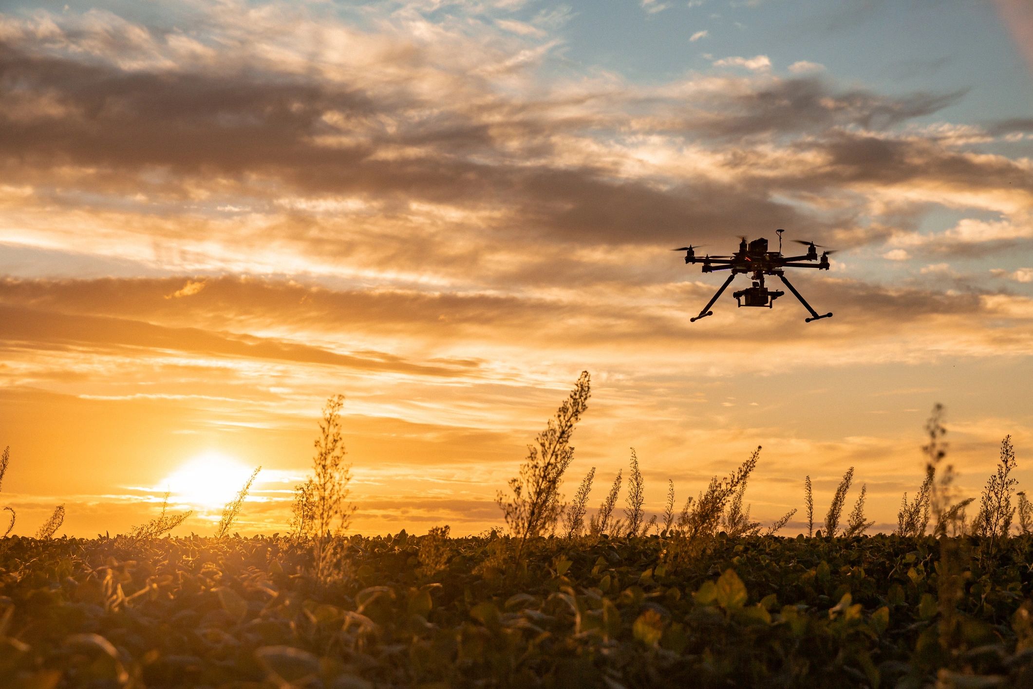
What types of drones are typically used in professional aerial photography? Professional drone photographers commonly use advanced UAVs (unmanned aerial vehicles) equipped with high-resolution sensors, 3-axis gimbals, and GPS stabilization. These systems allow for smooth, cinematic footage and sharp stills, even in variable weather or complex urban environments. Models often support 4K or higher video resolution, RAW photo formats, and precise flight control—essential for commercial and construction site documentation.
What deliverables can I expect after a shoot? Clients typically receive edited, high-resolution images and videos in standard formats like JPEG, TIFF, MP4, or MOV. Many providers offer both horizontal and vertical compositions optimized for social media, websites, and print. For real estate or construction clients in areas like Greenville or Spartanburg, expect geotagged imagery and site progress comparisons.
How involved is the editing process? Editing includes color correction, exposure balancing, cropping, and minor retouching. For video, this extends to sequencing, transitions, and stabilization. Most professionals provide a preview for feedback before final delivery.
What’s the typical turnaround time? Most projects are delivered within 5–7 business days. Expedited options are available for time-sensitive needs like real estate listings.
Which file formats are best for web vs. print? Use JPEG or MP4 for web; TIFF or ProRes for print and large-format displays.
Final Tips for Choosing the Right Drone Photographer
Selecting the right drone photographer comes down to balancing expertise, equipment, and communication. Start by verifying proper licensing—ensure they hold a current Part 107 certification, which confirms their knowledge of airspace regulations and flight safety. Review their portfolio critically, focusing on image clarity, composition, and relevance to your project type, whether it’s real estate in Greenville, commercial development in Spartanburg, or construction progress in Anderson.
Pay close attention to their gear—professionals use advanced drones with obstacle sensing, high-resolution cameras, and stabilization features that deliver crisp, reliable aerial imagery. Weather responsiveness and flight planning also matter; a skilled operator will assess conditions and adjust plans to protect data integrity and safety.
Don’t overlook post-production—editing enhances exposure, color grading, and framing, turning raw footage into compelling visual assets. Always request sample deliverables to gauge turnaround time and file quality.
Your next step? Compile a shortlist of three qualified drone professionals, review their client testimonials, and schedule consultations to discuss scope, pricing, and timelines. Clear communication and attention to detail are just as vital as technical skill.
With the right partner, you’ll gain more than photos—you’ll get actionable aerial insights that elevate your project’s visibility and impact. Take the time to choose wisely, and your vision will soar.