A New Perspective from Above
Drone photography has revolutionized how industries capture and utilize visuals, offering a fresh perspective that’s reshaping construction, commercial developments, and real estate in areas like Upstate South Carolina. The elevated view provided by aerial imaging not only highlights structural details but also brings creativity and precision to planning and marketing. In this guide, you'll discover the essential techniques and practical tips to harness drone photography for various business applications.
By embracing this technology, professionals can:
- Improve project planning: Gain a comprehensive overview of layouts and topography.
- Enhance marketing materials: Leverage stunning visuals to attract prospective buyers or partners.
- Streamline site inspections: Quickly identify potential issues with a bird’s eye view during construction phases.
Each tip and methodology discussed here is designed to empower you with actionable insights, reducing common challenges while boosting efficiency. With a solid foundation in drone photography’s benefits and its growing impact on key markets, you’ll be well-prepared to integrate aerial imaging into your strategic toolkit for superior project outcomes.
Charting the Evolution of Drone Technology
Over the years, drone technology has transformed from rudimentary remote-controlled aircraft to sophisticated multi-rotor systems with advanced imaging capabilities. Early models relied on basic stabilization and limited sensor technology, while newer drones now boast high-definition cameras, precise GPS navigation, and robust flight controllers that make aerial photography more accessible and reliable.
Innovations in lightweight materials, battery efficiency, and real-time data processing have paved the way for enhanced performance and safer operations. Recent developments include:
- Enhanced image stabilization for crisp, clear aerial shots.
- Advanced sensor integration that improves obstacle detection and flight accuracy.
- User-friendly software that enables precise control and automated flight paths.
Industry pioneers have refined these technologies further by incorporating specialized features that address challenges in mapping, real estate, and construction sectors. For those in the Upstate South Carolina region, these advancements open new opportunities for capturing breathtaking perspectives and executing complex projects. Practical guidance in selecting the right drone setup can empower professionals to overcome traditional limitations, making aerial photography a vital tool in today’s competitive market.
Lift Off with Mastery: Your Step-by-Step Guide to Capturing Stunning Aerial Images
Embarking on a journey into drone photography opens up endless creative possibilities. Whether you’re just beginning or looking to refine your skills, this guide breaks down the process into manageable steps designed for practical results.
- Choose Your Equipment: Start with a reliable drone equipped with a high-resolution camera and stabilization features. Consider investing in additional accessories like extra batteries and a carrying case for diverse shooting scenarios, including local landscapes in Upstate South Carolina.
- Pre-Flight Preparations: Before taking to the sky, ensure your drone is fully charged and updated with the latest firmware. Familiarize yourself with local flight regulations and weather conditions. Establish a safe take-off zone free from obstacles.
- Learn Basic Maneuvers: Practice essential flight techniques in open areas. Focus on steady movements, controlled altitude, and smooth transitions. This step is crucial for capturing dynamic aerial shots.
- Post-Flight Review: After each session, review your footage and adjust your settings accordingly. Consistent practice and review will refine your aerial composition and overall technique.
Follow these steps to build a strong foundation in drone photography and elevate your aerial vision.
Showcasing Aerial Project Success Stories
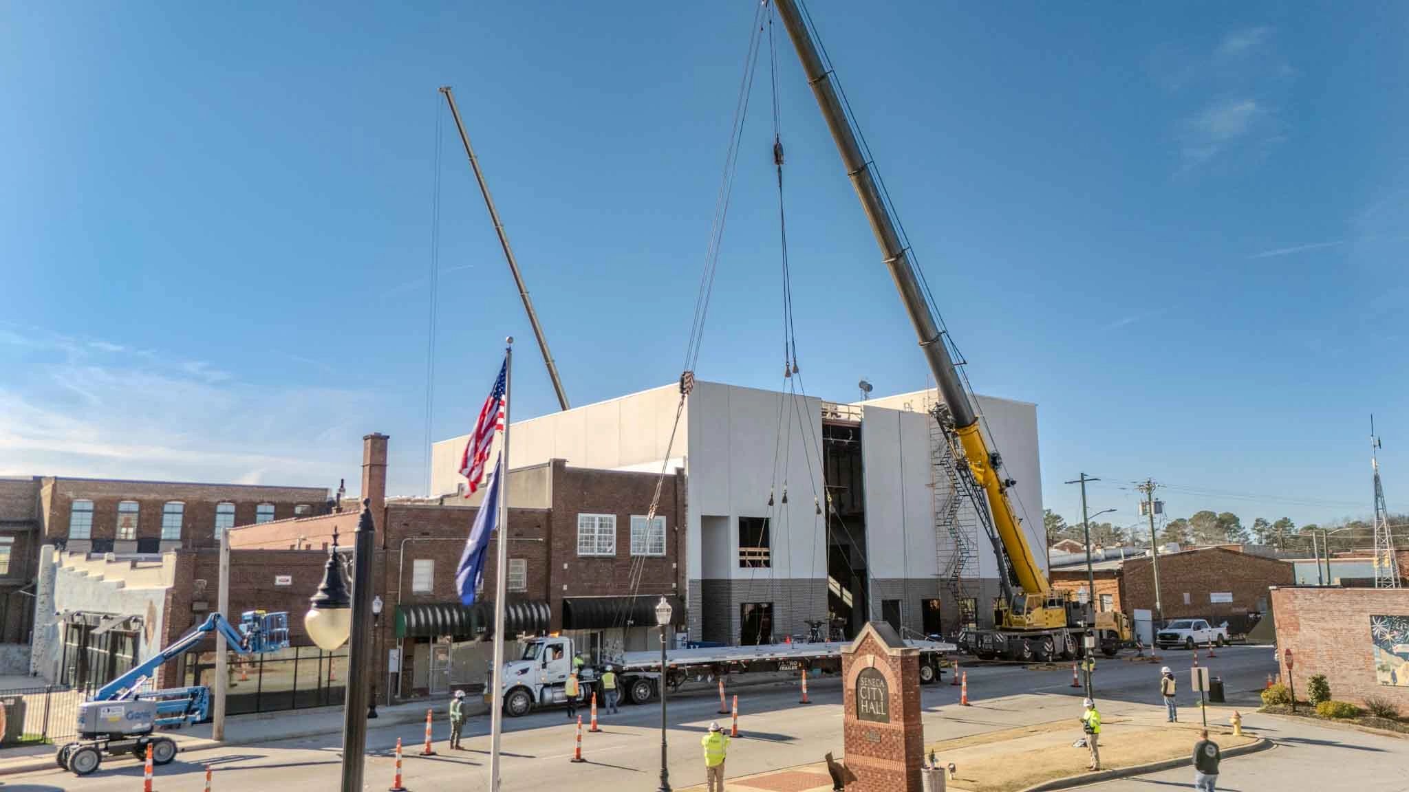
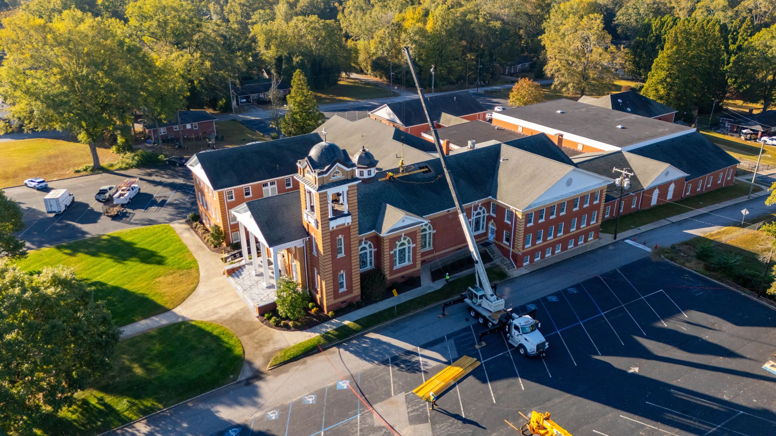
Successful aerial projects have significantly transformed client operations across various sectors in Upstate South Carolina and beyond. Leveraging advanced drone technology, practitioners have achieved game-changing visual documentation that not only elevates project appeal but also drives measurable business outcomes. These projects often address common challenges through:
- Enhanced Marketing Strategies: Innovative aerial shots provide fresh perspectives that captivate potential customers, boosting online engagement and generating quality leads.
- Optimized Construction Oversight: Detailed aerial imagery supports efficient construction monitoring and project management, enabling swift issue identification and resolution.
- Robust Real Estate Presentations: Comprehensive aerial views bring properties to life, highlighting unique architectural elements that attract buyers and investors alike.
By embracing these cutting-edge techniques, companies across the drone photography landscape have seen enormous benefits, including stronger brand positioning and increased operational efficiency. Whether you’re looking to improve property sales, streamline construction management, or enhance visual storytelling, the practical applications of drone imagery stand out as a critical tool in modern business strategy. This hands-on guide offers actionable tips and insights, empowering professionals to harness the full potential of aerial photography for tangible business growth.
What are the legal requirements for drone photography?
When flying a drone, it’s crucial to know your local regulations, including federal guidelines that govern the use of unmanned aerial vehicles. Be sure to check for any specific state or municipal rules in your area, such as in Upstate South Carolina. Always ensure you have the proper permits and adhere to altitude restrictions to maintain safe, compliant operations.
How can beginners improve their aerial photography skills?
New pilots should invest time in studying flight techniques and camera settings. Start by practicing in open areas to build confidence. Use online training resources and consider local workshops to refine your maneuvering and composition skills.
What equipment is recommended for high-quality drone imagery?
A solid drone should come with a high-resolution camera and advanced stabilization features. Beginners might choose models that offer user-friendly controls while still providing robust imaging capabilities, enabling you to capture stunning aerial shots.
What precautions should be taken to ensure safe flights?
Safety is paramount: always perform pre-flight checks, monitor battery levels, verify weather conditions, and clearly plan your flight path. Staying aware of surrounding hazards can prevent accidents.
What common mistakes should new pilots avoid?
Avoid over-complicating your shooting techniques during initial flights. Focus on mastering basic maneuvers and proper drone handling to reduce the risk of crashes and improve overall photo quality.
Embracing the Future of Aerial Innovation
In closing, the evolution of drone photography is set to redefine the way industries capture and communicate visual content. Advancements in aerial imaging are paving new paths for sectors such as construction, real estate, and commercial projects, enhancing project presentations while increasing operational efficiency. This technology not only refines the precision of visual documentation but also sparks innovative storytelling techniques that resonate with clients and stakeholders.
Key takeaways include:
- The transformative impact of improved imaging technology on industry practices.
- Actionable steps such as investing in modern drone systems and robust training programs.
- Emphasizing adaptable workflows to leverage aerial perspectives for enhanced project insight.
Looking ahead, it's crucial for professionals to remain agile, embracing evolving technologies to solve common challenges and elevate visual impact across projects. Explore ways to integrate these cutting-edge tools into your operational strategy. Stay motivated, keep experimenting, and let your creative vision soar as you shape a future where aerial photography drives industry innovation.