See Your Site from a Whole New Angle
Construction projects in Upstate South Carolina are increasingly turning to drone photography to gain real-time insights, improve safety, and streamline communication across teams. With the ability to capture high-resolution aerial imagery and detailed site progress overviews, drones are no longer just a novelty—they’re a necessity for modern project management. But before hiring a drone service, clients need to ask the right questions to ensure they’re getting accurate, compliant, and actionable data. Key concerns include flight compliance with FAA regulations, data delivery formats, and how often flights are conducted to track milestones. Clients should also understand the operator’s experience with construction site documentation, including their ability to produce orthomosaic maps, 3D models, and thermal imaging when needed. Knowing whether the service includes regular reporting, cloud-based access to imagery, and integration with project management tools can make a significant difference in efficiency. By evaluating a provider’s equipment capabilities, insurance coverage, and local flight authorization, construction managers can avoid delays and compliance risks. This guide will walk you through the essential questions to ask—so you can leverage drone technology with confidence, improve site oversight, and keep stakeholders informed with precision.
What Deliverables to Expect from a Professional Construction Drone Service
When investing in construction drone photography, knowing what to expect ensures you get maximum value from the service. A professional provider should deliver more than just drone footage—they should offer actionable insights that support project management, compliance, and communication.
Here’s a practical checklist of deliverables to confirm before hiring a drone service:
1. High-Resolution Aerial Images Expect crisp, geotagged stills captured at multiple stages of construction. These images provide visual benchmarks for progress tracking and client presentations, especially useful for large-scale developments in cities like Greenville or Spartanburg. 2. Orthomosaic Maps These bird’s-eye, dimensionally accurate maps stitch together hundreds of images into a single 2D plan. Ideal for measuring site dimensions, monitoring grading work, or validating layout accuracy across expansive Upstate SC lots. 3. 3D Site Models Advanced drone services generate interactive 3D reconstructions of your site, enabling project teams to perform volume calculations, assess topography, or conduct virtual walk-throughs—critical for pre-construction planning and stakeholder reviews. 4. Time-Lapse Construction Videos Automated flight sequences capture daily or weekly progress, compiled into shareable time-lapse videos. These are powerful tools for marketing, internal reporting, and proving milestone completion to investors. 5. Detailed Flight Logs and Compliance Reports Reputable operators provide documentation confirming adherence to FAA regulations, including flight timestamps, altitude logs, and airspace authorization—essential for audit trails and job site safety compliance. 6. Cloud-Based Access to Media All deliverables should be stored securely in an organized, shareable online dashboard, allowing project managers, engineers, and clients to access files anytime from any device.
Smart Flight Planning: The Backbone of Effective Construction Drone Imaging
For construction professionals leveraging drone photography, thoughtful flight planning isn’t just a technical step—it’s a strategic necessity. Well-designed flight paths ensure every corner of a jobsite in Upstate South Carolina or other regional markets is captured with precision, eliminating blind spots and guaranteeing consistent, repeatable data across project phases. Without a structured plan, even the most advanced drones risk missing critical details or duplicating efforts, leading to inefficient use of time and resources.
Effective flight planning begins with defining key objectives: Is the goal volumetric measurement, progress tracking, or safety inspections? Once established, operators can set grid patterns, adjust flight altitudes, and schedule automated missions that align with site conditions and regulatory parameters. This approach enhances regulatory compliance by incorporating no-fly zones, maintaining safe distances from structures, and adhering to local airspace restrictions common in urban and suburban developments.
Additional benefits include:
- Consistent data collection across multiple survey dates for accurate progress comparison
- Reduced operator error through automated flight routes and GPS waypoint navigation
- Improved coordination with engineering and management teams using standardized capture protocols
By integrating meticulous flight planning into routine operations, construction teams gain reliable, actionable aerial insights while staying compliant and efficient throughout the project lifecycle.
Ensuring Safety First: Drone Operations on Busy Construction Sites
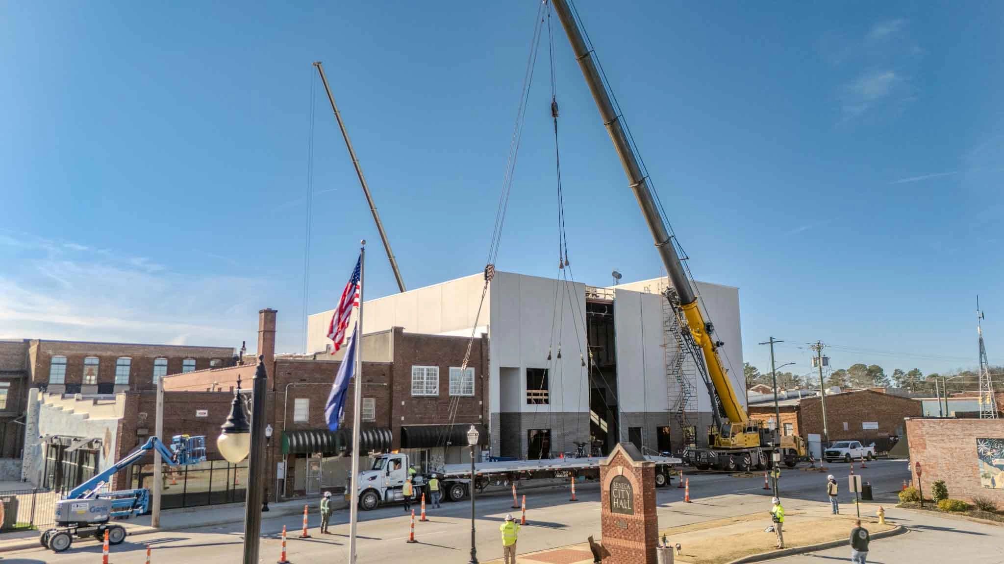
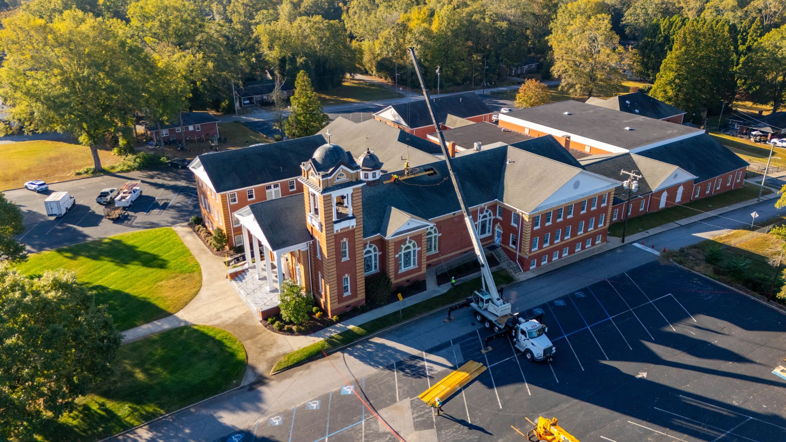
When integrating drone photography into active construction workflows, safety must always lead the mission. Reputable drone operators follow strict protocols to protect workers, equipment, and site integrity—especially in high-traffic environments across Upstate South Carolina and similar regional markets. Before any flight, a comprehensive site assessment is conducted to identify overhead hazards, ground obstacles, and nearby pedestrian zones. This evaluation helps determine safe takeoff and landing areas, ensuring the drone operates well clear of cranes, scaffolding, and ongoing work.
All flights adhere to FAA regulations, including maintaining visual line-of-sight and observing altitude limits. Operators perform pre-flight system checks to confirm battery levels, GPS signal strength, and gimbal stability—critical for avoiding in-air malfunctions. Real-time weather monitoring is standard practice; flights are postponed if wind, rain, or low visibility could compromise control.
Coordination with site supervisors is essential. Clear communication ensures that high-risk activities like material lifts or concrete pours are accounted for in flight timing. Many professionals also establish temporary no-go zones during drone operations, using signage or flaggers to alert personnel.
By prioritizing structured safety practices, drone services support efficient, incident-free documentation—delivering valuable aerial insights without disrupting job site productivity.
Streamline Project Management with Regular Aerial Updates
Consistent progress reporting through drone photography has become a cornerstone of modern construction project management. By capturing scheduled aerial imagery, teams gain a clear, objective view of site development, enabling more accurate forecasting and timely decision-making. These visual records allow managers to verify work completion, monitor material placement, and ensure adherence to timelines—without the need for constant on-site walkthroughs.
For teams in Upstate South Carolina and similar markets, where weather and terrain can impact schedules, having a reliable archive of weekly or bi-weekly drone footage helps identify delays early. Project stakeholders can visually track earthwork grading, foundation pours, and structural framing milestones with precision. This level of transparency also simplifies client communication, as teams can share dated, geotagged images that illustrate progress without ambiguity.
Key benefits include:
- Improved accountability across subcontractors with visual proof of completed phases
- Faster client approvals through clear, high-resolution aerial summaries
- Reduced miscommunication by eliminating reliance on verbal status updates
Integrating routine drone flights into your project schedule ensures that every team member—from field crews to investors—stays aligned. When paired with cloud-based sharing, these aerial updates create a seamless flow of information, keeping local projects moving efficiently from groundbreaking to completion.
What to Know When Hiring Drone Services for Construction Projects
What qualifications should I look for in a drone service provider? Ensure the operator holds a valid FAA Part 107 remote pilot certificate, which confirms their knowledge of airspace regulations, weather patterns, and safe flight practices. In regions like Upstate South Carolina, where construction sites vary from urban developments to rural infrastructure, certified pilots are essential for compliant and professional operations.
How does drone photography improve construction site management? Regular aerial captures enable accurate progress tracking, volume measurements, and site-wide visual documentation. This helps project managers identify bottlenecks, verify work completion, and communicate updates clearly with stakeholders using real-world visual data.
Can drones fly over active construction zones safely? Yes, when operated by experienced pilots following strict safety protocols. Pre-flight risk assessments, coordination with on-site crews, and use of real-time telemetry data ensure drones operate without disrupting workflow or endangering personnel.
What are the limitations of drone use on construction sites? Flight restrictions due to weather, airspace classification, site obstacles, and local ordinances—especially near airports or private properties—can limit operations. Always confirm flight feasibility in advance.
How often should I schedule drone flights during a project? Frequency depends on project phase—weekly during active build stages, biweekly for progress tracking, or monthly for long-term documentation. Consistent intervals provide actionable insights without redundant data.
Will drone data integrate with my existing project tools? Most providers deliver imagery compatible with common platforms like CAD software, Google Earth, or BIM systems, allowing seamless incorporation into planning and reporting workflows.
Final Checks: Ensuring Success with Your Drone Service Provider
Hiring a drone photography service for construction projects demands more than just impressive aerial visuals—it requires thorough due diligence and clearly defined expectations. As you evaluate providers, prioritize those who demonstrate a strong grasp of FAA Part 107 regulations, site-specific safety protocols, and consistent data delivery workflows. Confirm they carry proper liability insurance and maintain up-to-date certifications, especially when working in populated areas like Greenville or Spartanburg, where airspace restrictions and privacy concerns are more stringent.
Set clear project benchmarks from the start:
- Define the frequency of flights (weekly, monthly, milestone-based)
- Specify required deliverables (orthomosaic maps, 3D models, progress time-lapses)
- Discuss turnaround times for image processing and reporting
Misalignment in these areas can lead to gaps in documentation or delays in decision-making. A professional operator should seamlessly integrate into your project’s communication flow, providing standardized, high-resolution outputs that support tracking, stakeholder updates, and compliance records.
Take action: Review your next project timeline, identify key phases where drone data adds the most value, and engage a qualified provider early in planning. By setting clear expectations and verifying credentials upfront, you’ll maximize ROI, improve site oversight, and maintain a safer, more efficient jobsite from groundbreaking to completion.