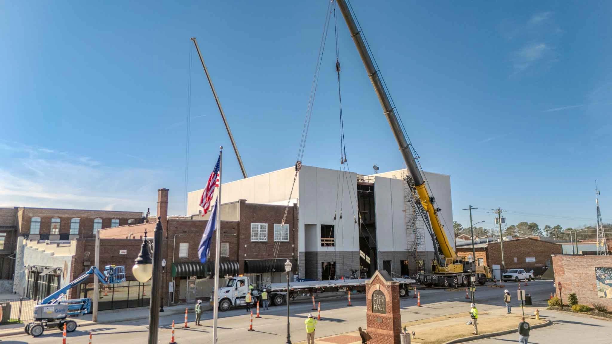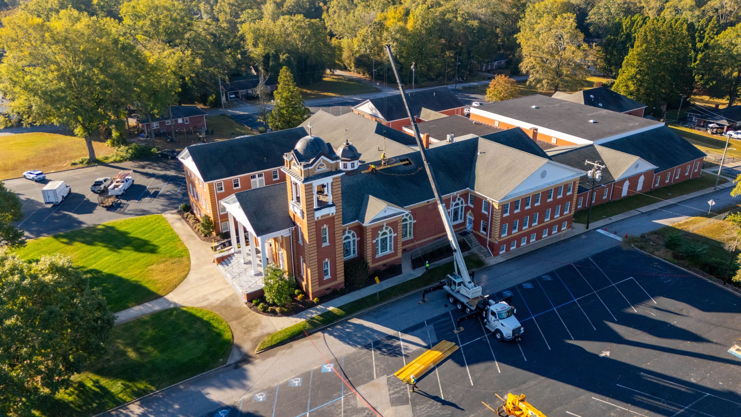
See the Big Picture Before the First Pour
Imagine standing atop a crane, looking down at an entire construction site with perfect clarity—every grade, alignment, and material placement visible at a glance. That level of oversight is no longer limited to costly manned flights or guesswork from ground level. Today, aerial views powered by drone technology are revolutionizing how project managers monitor progress, assess risks, and communicate with stakeholders across South Carolina and similar regions. From Greenville to Spartanburg and beyond, contractors are replacing traditional walkthroughs with real-time drone surveys that deliver accurate, measurable data faster and safer than ever before.
This shift isn’t just about convenience—it’s about smarter project execution. Aerial insights enable teams to detect issues early, verify site conditions, and maintain tighter control over timelines and budgets. Whether you're managing earthwork on a hillside lot or tracking multi-phase builds in dense urban zones, drones provide consistent, high-resolution documentation that supports informed decisions.
In the sections ahead, you’ll discover how aerial data improves site planning, enhances client reporting, streamlines inspections, and integrates seamlessly into existing workflows—all while keeping crews safe and projects on track. The sky isn’t the limit; it’s the new standard for precision in construction management.
5 Ways Drone Data Revolutionizes Construction Site Oversight
Drones are no longer just flying cameras—they’re powerful data capture tools transforming how construction teams monitor progress, manage resources, and ensure project accuracy. From Upstate South Carolina to growing metropolitan builds nationwide, drone technology delivers actionable insights that enhance efficiency, safety, and stakeholder communication.
1. Real-Time Progress Tracking Across Large Sites With scheduled aerial flyovers, project managers can capture consistent, high-resolution snapshots of evolving builds. These visual timelines make it easy to compare current conditions with CAD plans, identify delays early, and provide clients with compelling update visuals—without boots-on-the-ground inspections. 2. Precision Topographic Mapping for Earthwork Planning Using photogrammetry, drones generate detailed 3D terrain models and digital elevation maps. This data supports accurate cut-and-fill calculations, drainage planning, and grading verification—critical for commercial developments on hilly or uneven landscapes. 3. Automated Stockpile Volume Measurements Drones eliminate manual tape measures and guesswork by calculating material volumes with centimeter-level accuracy. Whether tracking gravel, mulch, or soil, teams save time and optimize inventory management across multiple job sites. 4. Enhanced Safety Inspections of Hard-to-Reach Areas Inspecting rooftops, structural beams, or active excavation zones becomes safer and faster with drones. Operators identify potential hazards like erosion, instability, or equipment misplacement—reducing worker risk and site downtime. 5. Frequent Site Monitoring Without Disruption Unlike traditional methods that require halting operations for surveys, drones collect data in minutes with minimal interference. This enables weekly or even daily monitoring cycles, improving responsiveness and keeping large-scale projects on schedule.
Eliminate Costly Surprises with Precision Pre-Construction Mapping
Before the first piece of equipment hits the site, accurate land data can make or break a project’s timeline and budget. Traditional surveying methods often require days of on-the-ground work, increasing labor costs and delaying critical planning phases. Drone-powered topographic mapping streamlines this process, delivering highly accurate elevation models, slope analyses, and contour data in a fraction of the time. By capturing comprehensive aerial views during the pre-construction phase, teams can quickly identify drainage challenges, soil instability, or access limitations that could trigger change orders or work stoppages later.
Key benefits include:
- Rapid site assessment across rugged or expansive terrain, including hills, wetlands, or wooded areas common in Upstate South Carolina
- Early detection of obstacles like underground utilities, tree lines, or property boundaries that impact foundation layouts
- Seamless integration with CAD and BIM models, ensuring field teams work from the most up-to-date plans
- Repeatable surveys to verify grading accuracy before and after earthmoving
Contractors and developers who incorporate drone-generated maps into their planning reduce miscommunication between design and operations teams, avoid rework, and maintain momentum from day one. When paired with geotagged imagery, these aerial insights provide a clear, measurable baseline for all stakeholders—laying the foundation for on-time, on-budget project delivery.
Sync Drone Flights Seamlessly Into Weekly Construction Workflows
Integrating drone flights into weekly construction schedules doesn’t have to disrupt operations—when planned strategically, aerial data collection enhances efficiency without slowing progress. Follow these steps to embed drone operations into your routine:
1. Align Flight Times with Site Activity Lulls Schedule drone missions during low-traffic periods like early morning or right after crew rotations. This minimizes interference with heavy machinery and ensures pilot visibility, especially on busy lots in Greenville or Spartanburg. 2. Designate a Consistent Weekly Flight Day Choose one day per week—such as every Tuesday morning—for standardized site flyovers. This creates a reliable timeline for progress comparisons and helps project managers identify delays early. 3. Establish Pre-Flight Check-Ins with Foremen Before launching, confirm with on-site supervisors that cranes are retracted, vehicles are parked, and personnel are clear of flight zones. This short sync prevents safety risks and aborted missions. 4. Use Automated Flight Paths for Repeatable Coverage Leverage GPS-tagged flight plans to capture identical angles weekly. This consistency supports accurate volume calculations, cut-and-fill tracking, and client-facing time-lapses. 5. Integrate Aerial Updates into Weekly Team Meetings Share stitched orthomosaic maps or 3D models during project syncs to align stakeholders. Visual data removes ambiguity about site status and keeps everyone accountable.
Pro Tip: Always check local weather forecasts and NOTAMs the night before—especially in Upstate South Carolina’s unpredictable spring season—to avoid last-minute cancellations.
Your Questions About Drone Use in Construction, Answered
Are drones really worth the investment on construction sites? Yes—drones deliver measurable returns by reducing inspection time, improving survey accuracy, and enhancing progress tracking. Teams in Upstate South Carolina and similar regions use drones to replace hours of manual site walks with fast, high-resolution aerial surveys, minimizing downtime and safety risks.
How much does drone mapping typically cost for a construction project? Costs vary based on site size, frequency of flights, and data deliverables. Most projects budget per flight or monthly, with standard topographic mapping and progress reports being more affordable than advanced LiDAR or thermal analysis. Many find the cost is quickly offset by preventing rework and accelerating approvals.
What kind of data can I expect from a drone survey? Common deliverables include orthomosaic maps (scaled, accurate aerial images), 3D models, volumetric measurements, and elevation contours. These support tasks like cut-and-fill calculations, drainage planning, and compliance checks—critical for grading and foundation work in Greenville and Spartanburg developments.
How quickly is drone data delivered after a site flight? Most providers deliver processed data within 24–48 hours. Rush options are often available. Data is typically shared via secure cloud links, allowing project managers, engineers, and stakeholders immediate access from any device.
Can drones operate on active, busy job sites safely? Absolutely—when flown by certified pilots using automated flight plans and obstacle avoidance. Pre-flight site assessments ensure safe takeoff zones and minimal disruption to crews, equipment, and materials.
Do I need special software to view or use drone data? Not necessarily. Many deliverables are compatible with common tools like PDF viewers or Google Earth. For advanced use, integration with CAD, BIM, or construction management platforms is possible and increasingly standard.
The Lasting Impact of Aerial Documentation in Construction
Consistent aerial documentation isn’t just a progress-tracking tool—it’s a long-term strategic asset that adds measurable value to every phase of a build. When construction teams capture regular, high-resolution drone data, they create a comprehensive visual timeline that supports accurate decision-making, strengthens client communication, and enhances project accountability. Over time, this archive of aerial views becomes a powerful reference for quality assurance, dispute resolution, and post-completion analysis. In fast-moving builds across Upstate South Carolina, where terrain and weather can shift rapidly, having a reliable record of site conditions helps teams identify patterns, anticipate delays, and optimize scheduling.
Beyond real-time insights, consistent drone documentation supports compliance efforts and regulatory reporting. From initial grading to final inspections, teams can prove adherence to plans and catch discrepancies early. Contractors also use historical aerial data for future bidding, leveraging past project metrics to improve estimates and resource planning. When integrated with cloud-based platforms, these visual records enable seamless collaboration between remote stakeholders, ensuring alignment across designers, engineers, and property owners.
To maximize long-term value:
- Schedule routine drone flights at key project milestones
- Store and organize data with clear labeling and geotags
- Use orthomosaic maps to compare site changes over time
By treating aerial documentation as a continuous investment—not a one-time deliverable—construction professionals gain clarity, reduce risk, and elevate their operational efficiency. Start building your visual legacy today. Explore how structured drone workflows can transform the way you track, manage, and present your next project.