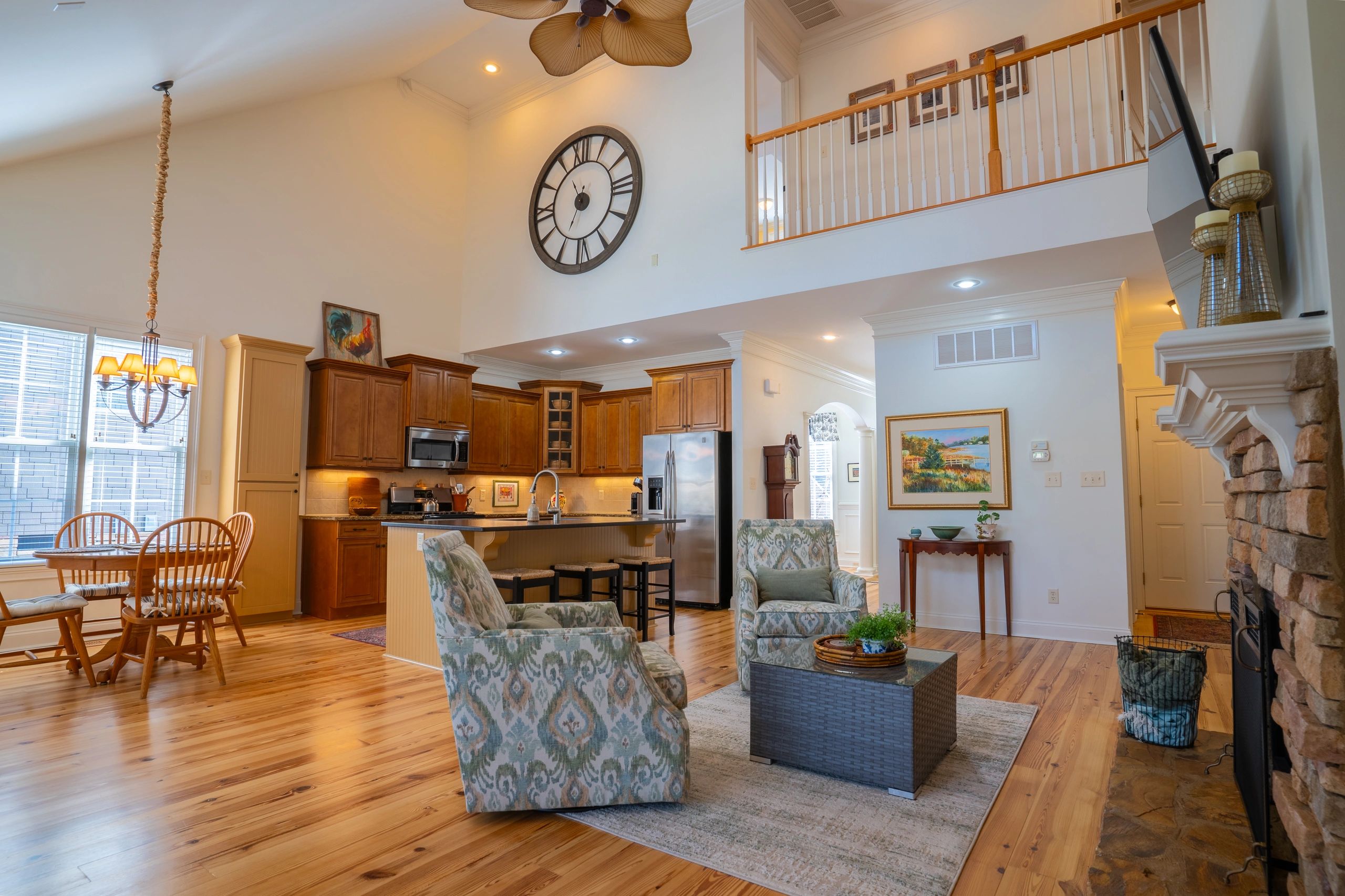
When it comes to selling real estate, first impressions matter. Most buyers begin their search online, scrolling through listing after listing before deciding which properties are worth seeing in person. That means the photos and videos used to market a property can make a major difference in how much attention it receives.
Standard ground photos are important, but they do not always tell the full story. Drone photography gives buyers a better view of the property, the layout, and the surrounding area. For many listings, especially land, lake properties, large lots, commercial sites, and unique homes, aerial photos can help a property stand out faster.
Drone Photos Show the Full Property
One of the biggest advantages of drone photography is the ability to show the entire property from above. Ground-level photos can highlight the house, interior, driveway, or yard, but they often make it difficult to understand the full layout.
Drone photos can show:
Property boundaries and overall shape Driveways and access points Nearby roads and intersections Lake, pond, or wooded areas Open fields, cleared areas, and tree coverage Distance between structures Surrounding homes, land, and amenities
For buyers, this makes it much easier to understand what they are looking at before they schedule a showing. Instead of guessing how the land is laid out, they can clearly see how the property sits.
Aerial Photos Are Especially Valuable for Land Listings
Drone photography is one of the best tools for marketing land. Unlike a house, land can be difficult to show with only ground photos. A few pictures from the road or field usually do not give buyers enough information to fully understand the property.
With aerial photography, buyers can see road frontage, acreage, wooded areas, open fields, topography, access points, and nearby features. This is especially helpful for larger tracts of land, rural properties, lake lots, farm land, recreational land, and development sites.
For land listings, drone photos do more than make the property look good. They help answer important questions buyers already have.
Drone Photos Help Listings Stand Out Online
Real estate is competitive. Buyers may scroll through dozens of listings in just a few minutes. Aerial photos and video can help stop that scroll by giving the listing a more professional and eye-catching look.
A strong drone photo can instantly show something unique about the property, whether that is a large yard, lake access, mountain views, acreage, privacy, or a great location. These visuals help create interest before the buyer even reads the full listing description.
In many cases, drone photos make a property feel more complete and easier to understand. That can lead to more clicks, more saves, more shares, and more potential showings.
Drone Video Can Create a Better Buyer Experience
Drone photography is helpful, but drone video can take the listing even further. A short aerial video can guide the viewer through the property in a way that photos alone cannot.
Drone video can show how the driveway leads into the property, how the land opens up, where structures are located, and what surrounds the site. For homes, it can create a more polished marketing piece that highlights the exterior, neighborhood, and property features.
This is especially useful for social media. Short, clean drone clips can perform well on platforms like Facebook, Instagram, TikTok, and YouTube Shorts. For real estate agents, this gives the listing more ways to reach potential buyers.
Do Drone Photos Actually Help a Property Sell Faster?
Drone photos alone do not guarantee that a property will sell faster. Price, location, condition, market demand, and the overall listing strategy still matter the most.
However, drone photography can help a listing get more attention, provide better information to buyers, and make the property look more professional online. That can lead to stronger interest, better engagement, and potentially faster showings.
In simple terms, drone photos help buyers understand the value of a property sooner. The easier it is for buyers to see what makes a property special, the more likely they are to take the next step.
When Are Drone Photos Worth It?
Drone photos are especially worth considering for:
Homes with large yards Land and acreage listings Lakefront or waterfront properties Farms and recreational properties Commercial real estate New construction homes Properties with unique outdoor features Listings where location and surrounding area are major selling points
Even for smaller residential listings, drone photos can still add value when the exterior, lot, neighborhood, or location helps tell the story.
Final Thoughts
Drone photos can be a powerful tool for real estate marketing. They help buyers see the full picture, understand the property layout, and connect with the listing before they ever step foot on site.
While drone photography is not the only factor in selling real estate, it can make a listing more professional, more informative, and more appealing online. For agents, landowners, and property sellers, that added visibility can make a real difference.
At Owens Aerial, we provide high-quality drone photography and video for real estate, land, construction, and commercial properties throughout Upstate South Carolina. Whether you are listing a home, marketing acreage, or showcasing a commercial site, aerial visuals can help your property stand out.
